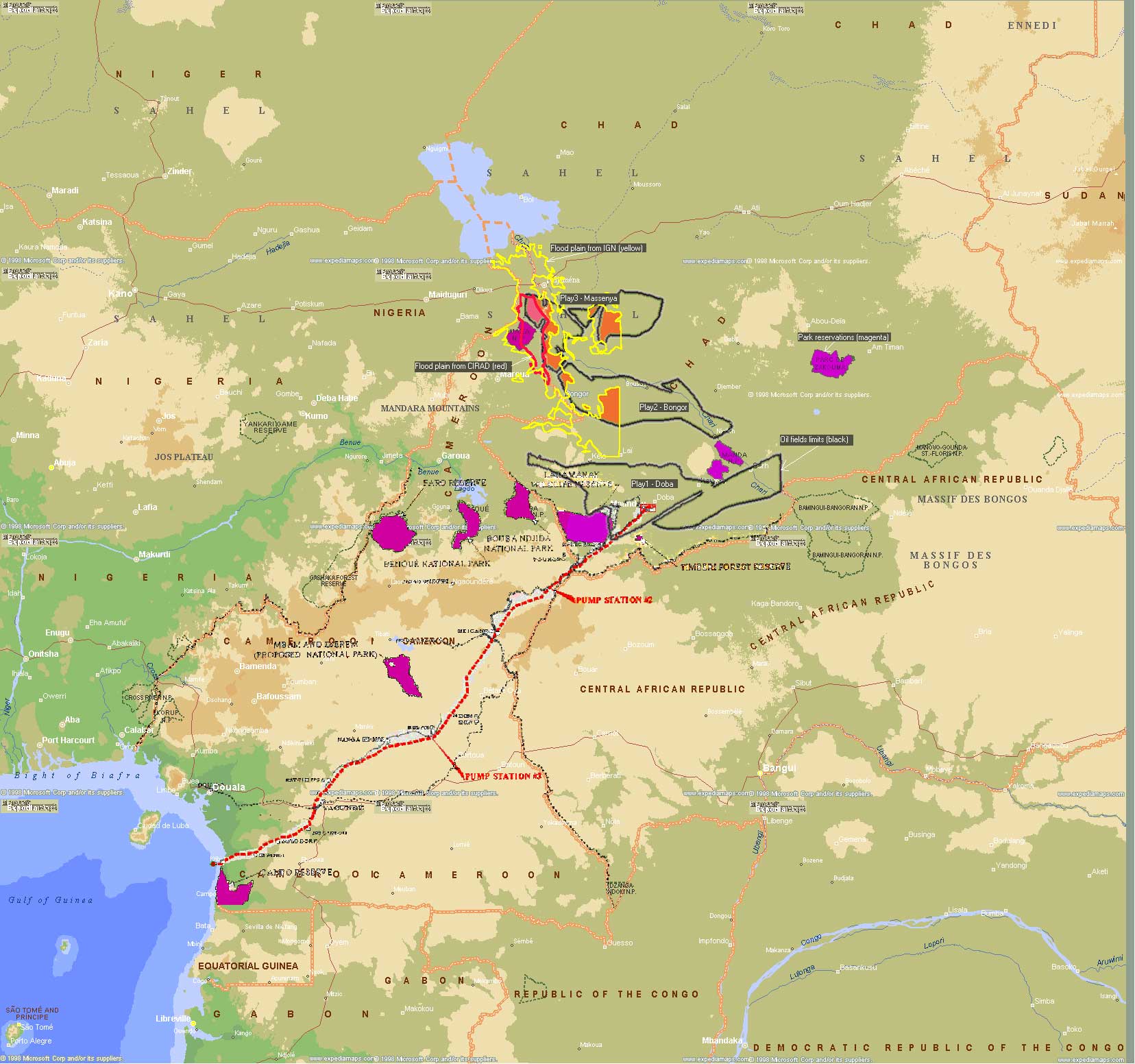
1 - Doba basin 1 - Doba basin
The production rigs and wells
Komé field (2 to 2 rigs), Bolobo field (1 rig) and Miandoum field (1 rig)
Total of 320 production wellsThe pipeline from Doba to Kibri
Length : 1050 km, maximum capacity : 250 000 b/d
Buried to the approximate depth of 1 m and deeper with reinforced walls on certain areas (crossing of rivers, ...)
Stop valves at 35 km interval monitored 24 hours a day Environmental risks
Rigs :
Explosion with oil spillage (ex: Nigeria case)
Uncontrolled flow and oil spill
Pipeline :
Leaks with impact on the groundwater table
Integrated map produced with TeraVue on pipeline/oil fields location related to protected reserves (magenta) and flood plain extent (yellow) 
|
2 - Bongor basin
1 production rig on inundated land, total of 30-40 wells.The pipeline from Bongor to Doba
Assumed to initiate around Bongor with top valves every 35 km,what is the best route ?
West : Bongor - Laï - Doba
East : Bongor - Guelengdeng - Sahr - Doba Environmental risks
Construction : buried at what depth.
Leaks with impact to the groundwater table
Oil spills, above water level. Spillage in main streams : Logone and Chari
3 - Massenya basin (Chad)
1 production rig on inundable land, ~30-40 wells. Pipeline from Massenya to Doba
Assumed to initiate from around Massenya or Maïgana, what is the best route ?
West bank : Massenya - Bousso - Sahr - Doba
East bank : Massenya - Sahr – Doba Environmental risks
Manda park and Djoli-Kéra forest reserve
Construction : buried ? above water level ?
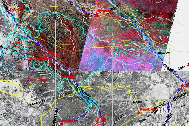
TeraVue radar-Landsat composite image of Logone-Chari flood plainsalong with oil fields geometry (yellow) 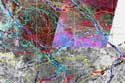
|
4 - Logone-Birni field (Cameroon)
The geographic situation Environmental risks in wetlands :
Conflict of interest with the Waza reserve
Flood plain conservation : the Maga dam conservation projectBest route ? :
Crossing the Logone-Chari system toward Doba
Nigeria - Benue basin
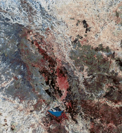
Landsat color composite of Logone-Birni area
showing the extent of the Maga dam lake (dark blue) in Cameroon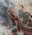
|
|