|
 Geoinformation Integration Geoinformation Integration
Building base maps from Expedia
Integrating resource related data : geology and geophysics
Gathering geopolitical information
Environmental stacks : hydrology, agriculture practices, soils, protected areas, population, climate, health ....
Building a project base map
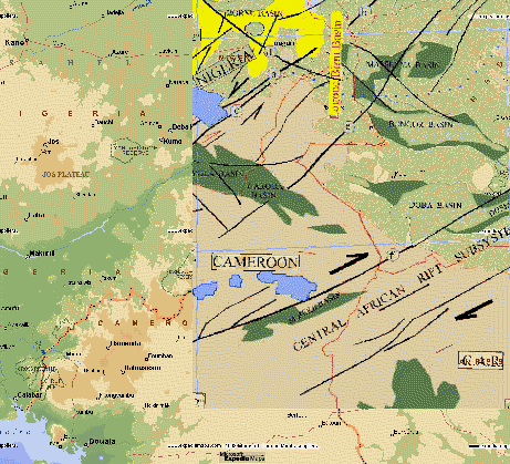
Example of geology information inlayed with Expedia base map using TeraVue  
|
The hydrocarbon resource stack
Petroconsultants - Africa Concession map
European Union West and Central Africa Mining Forum
UTEP - University of Texas at El Paso General geology of Northern Africa with
structural features and Bouguer anomaly map
SHELL - Exploration and Production Nigeria and Chad map
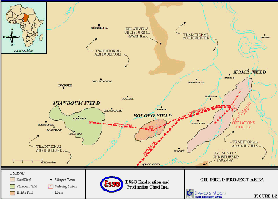
EXXON - EssoChad Project : The Exxon Doba fields
The area of closures of the Doba fields as integrated in TeraVue (Source Exxon) 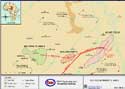
|
Pipeline & environment stack
ENTRI - Environmental Treaties and Resources Indicator
USGS - GLIS Quick-Look
IGN Cameroon - Road map
CIRAD-EMVT - CTA : Livestock development and pasture potential in North Cameroon
EXXON Essochad site : Map of pipeline route
Pipeline and future projects
WCMC - World Conservation Monitoring Center
GALLICA - Bibliothèque Nationale de France : La grande route du Tchad / par M. le commandant Lenfant,...
IRD - Observatoire Hydrologique de l'Afrique de l'Ouest et Centrale : Hydrology map of Chari-Logone basins
Various density maps for Chad and Cameroon from the FAO or related sites.
JPL - AFRICA MAPPING PROJECT : Jers1 data
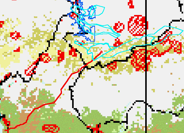
Composite of oil fields location (cyan), present pipeline project (red), flood prone areas of central Chad (blue),
protected natural reserves (red), and regional rainforest coverage (green) Multi-thematic document integrated using TeraVue 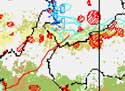
|
Logone-Chari flood plains
Geologic map from «Les lits du Logone» - J. Cabot - Sedes - 1967
JPL - AFRICA MAPPING PROJECT : Jers1 detailed data
USGS-GLIS : Landsat MSS
|