|
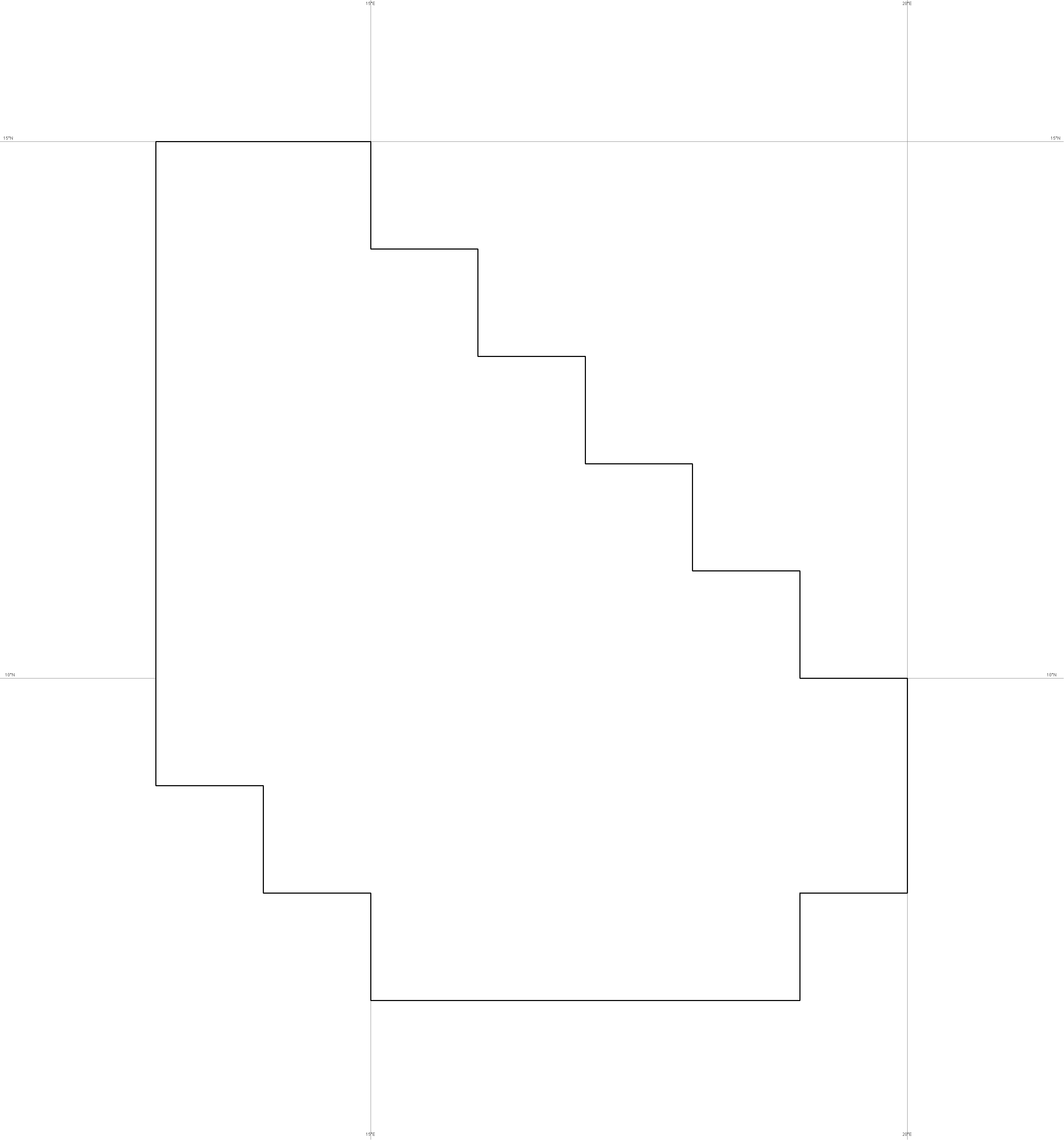
 1. General presentation of the area © Géo212 1. General presentation of the area © Géo212  Limits of the project area © Geo212
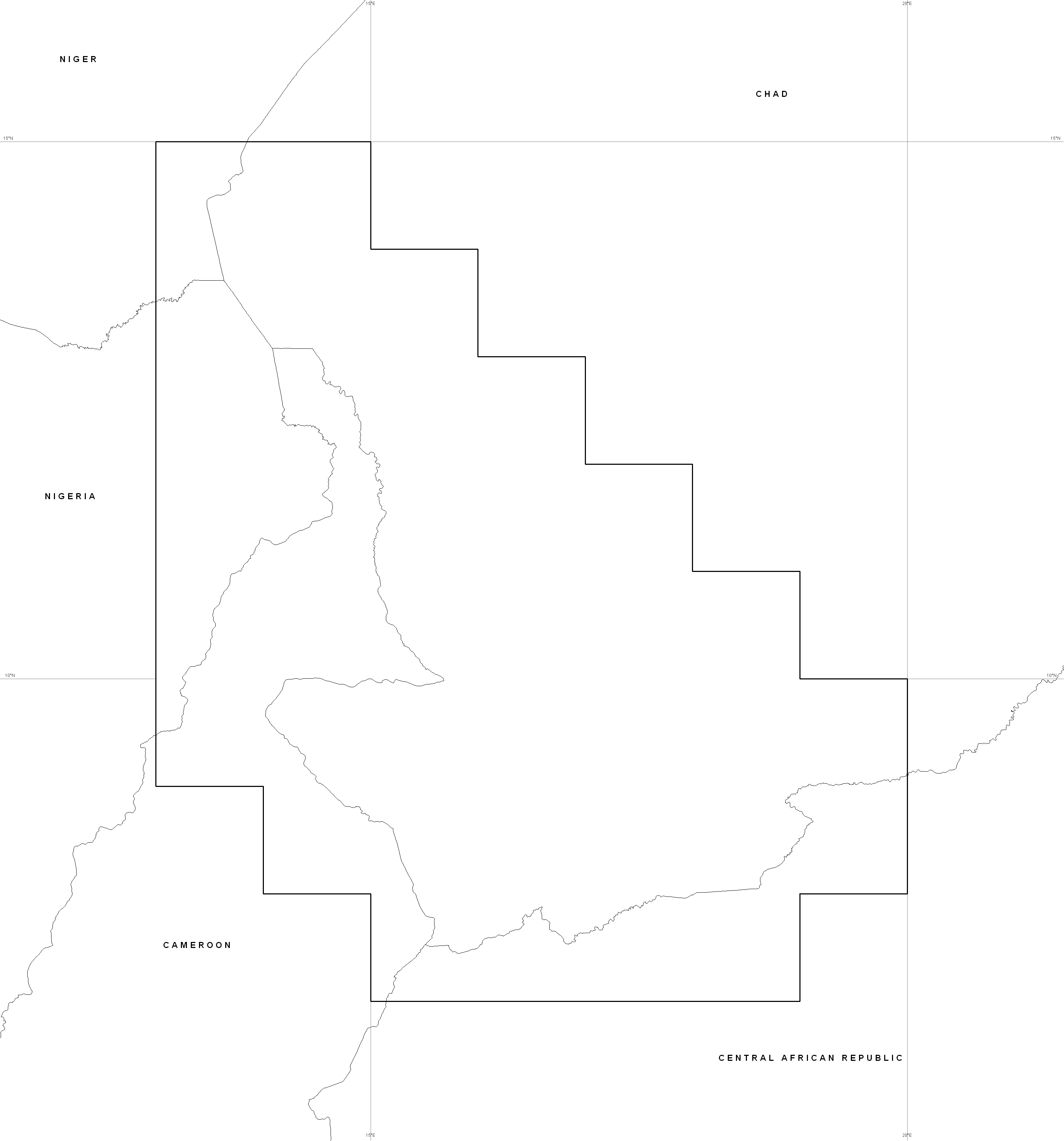
Countries and borders
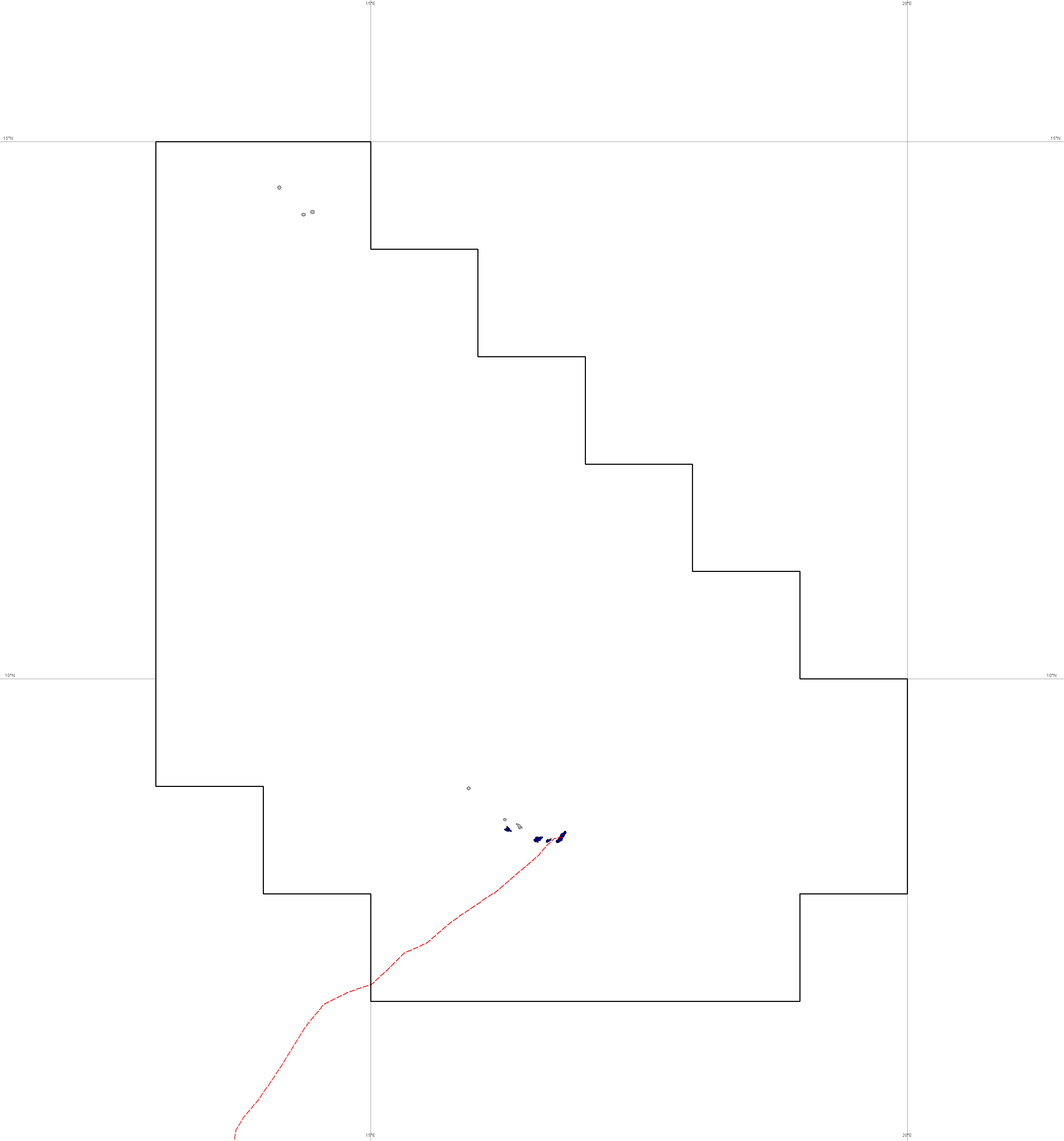
© Digital Chart of The World
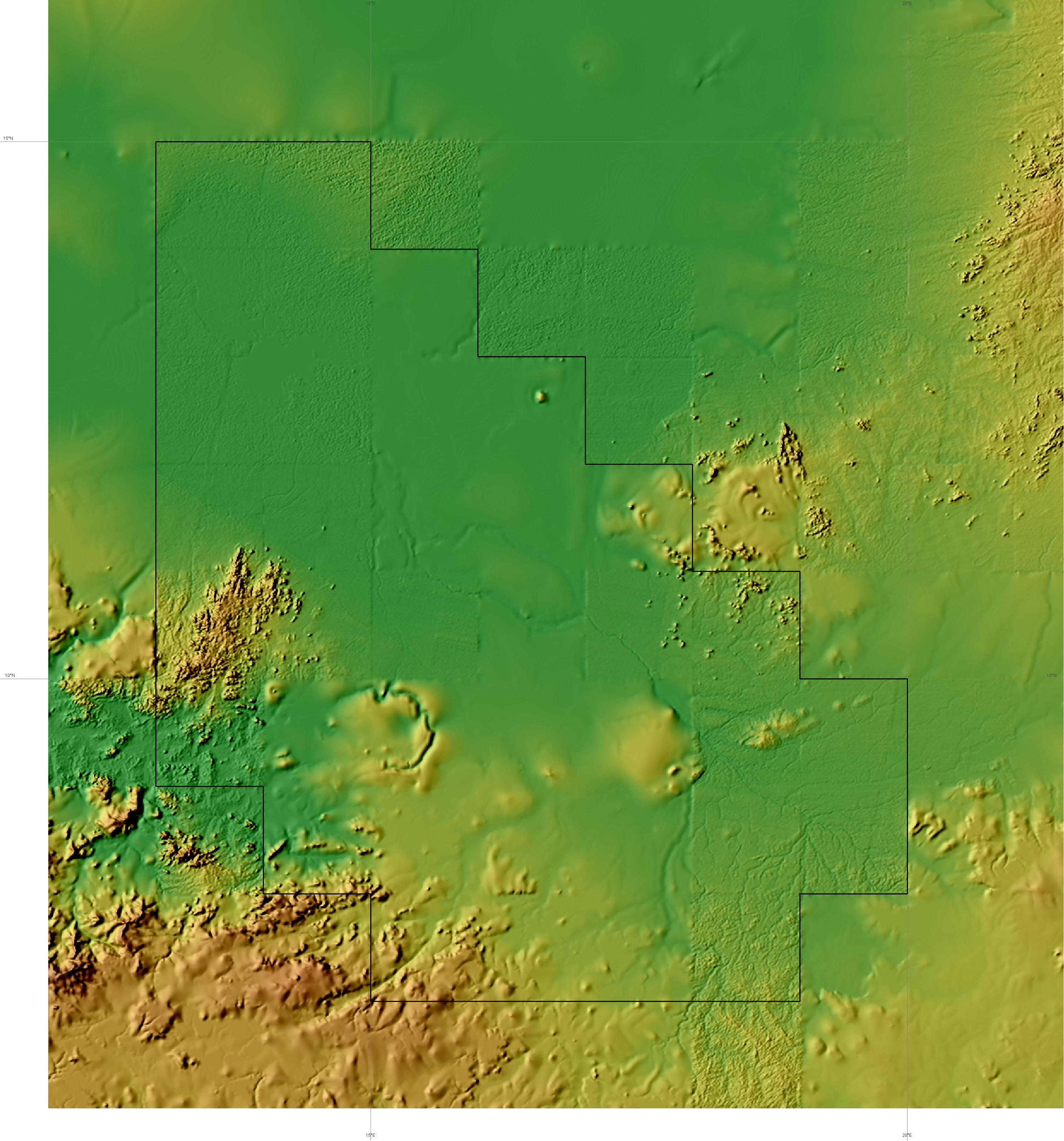
GTOPO30 Elevations © USGS
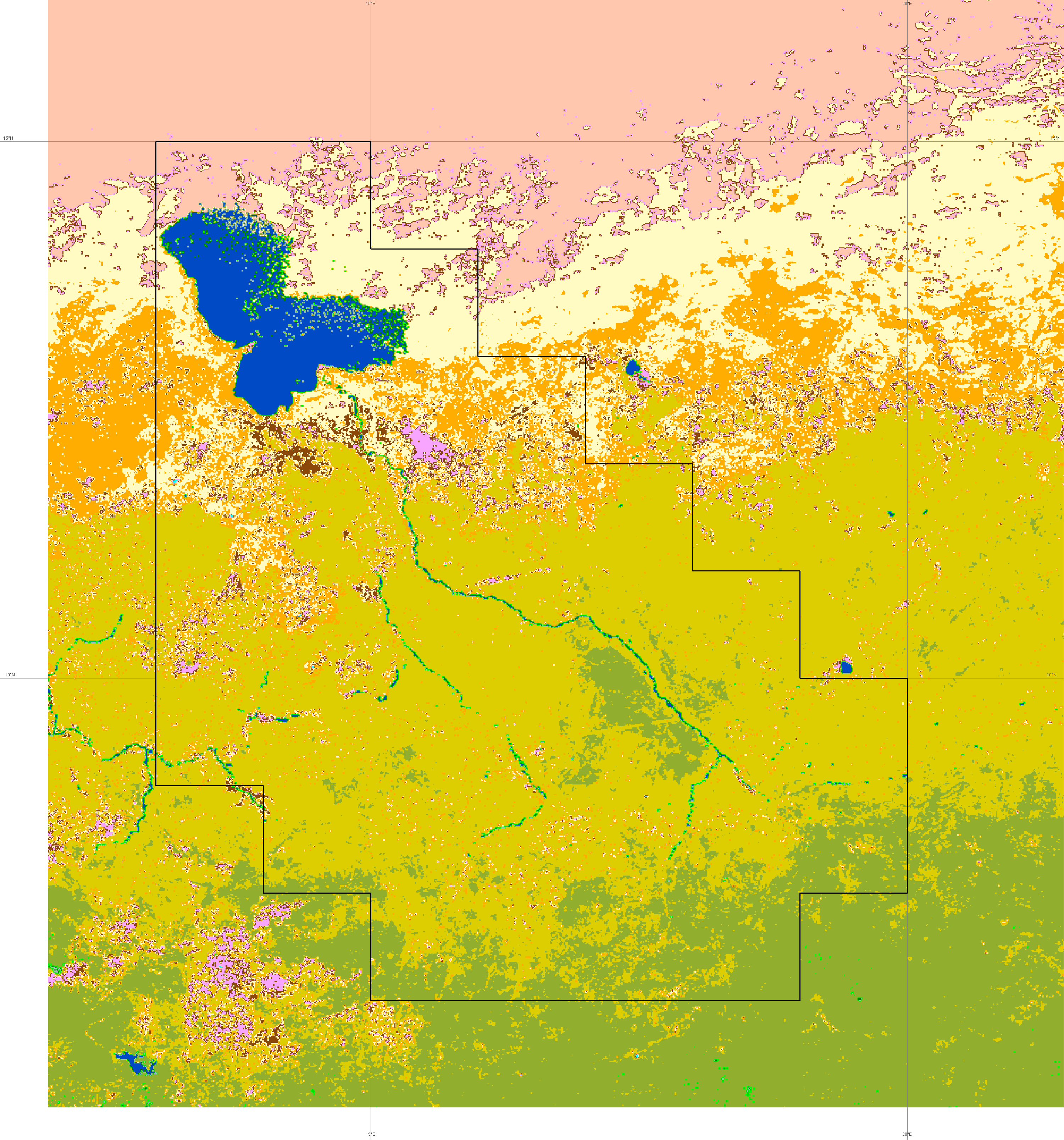
Land Cover © USGS
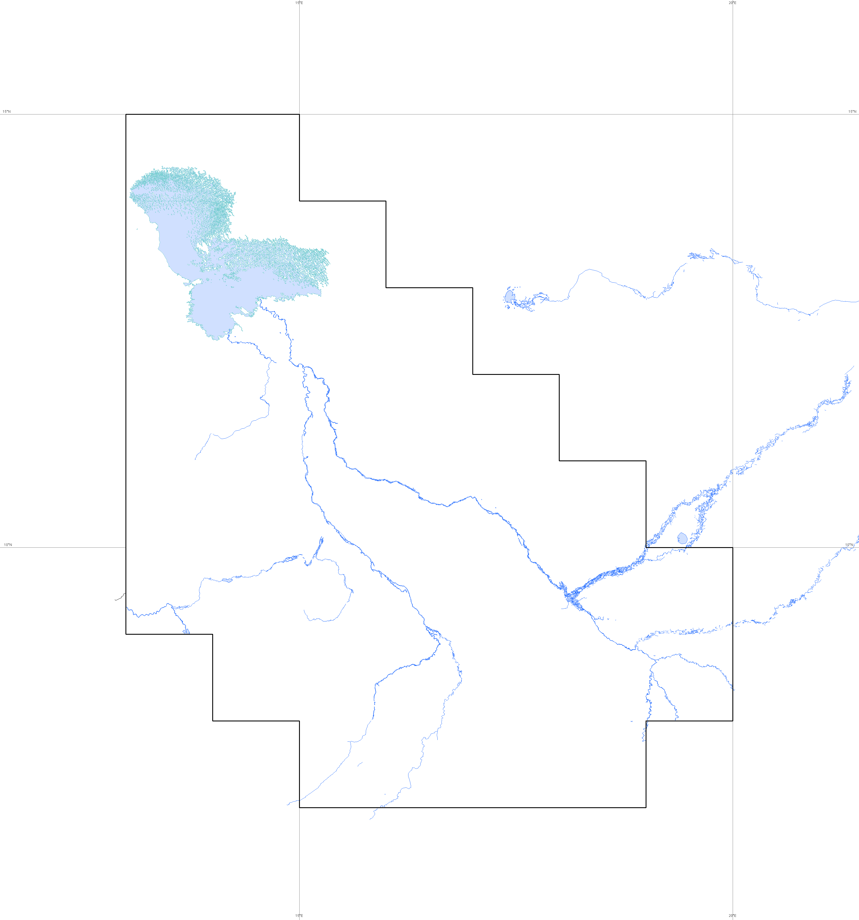
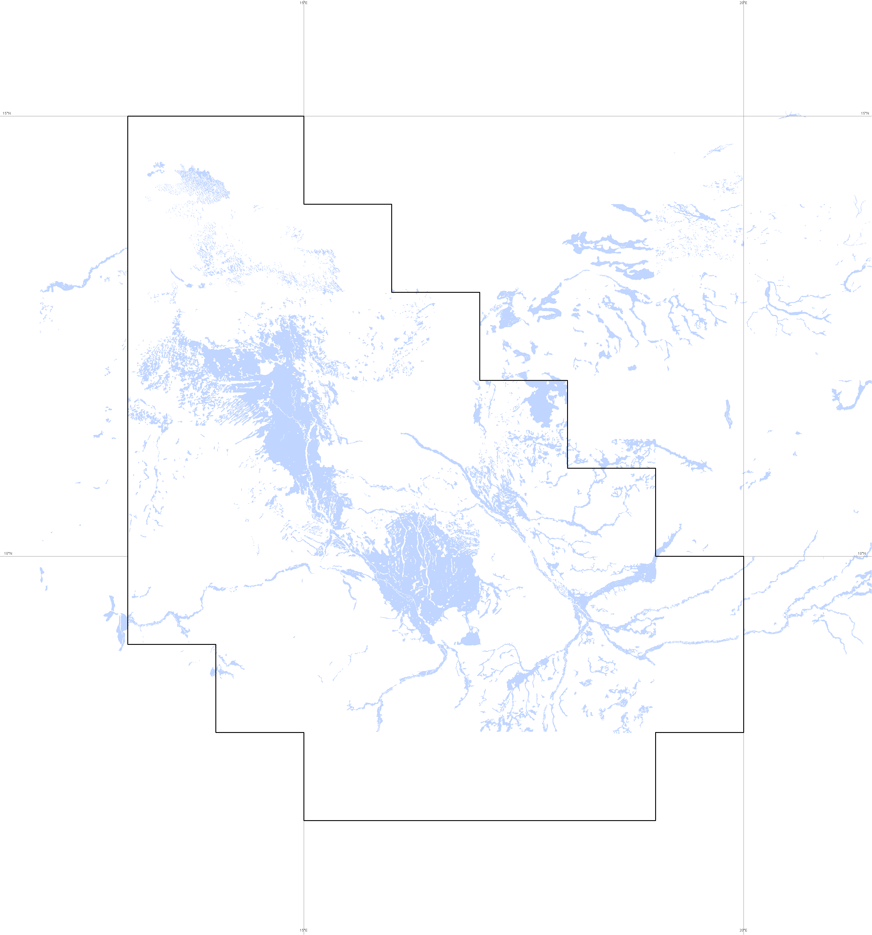
Hydrology © Digital Chart of The World
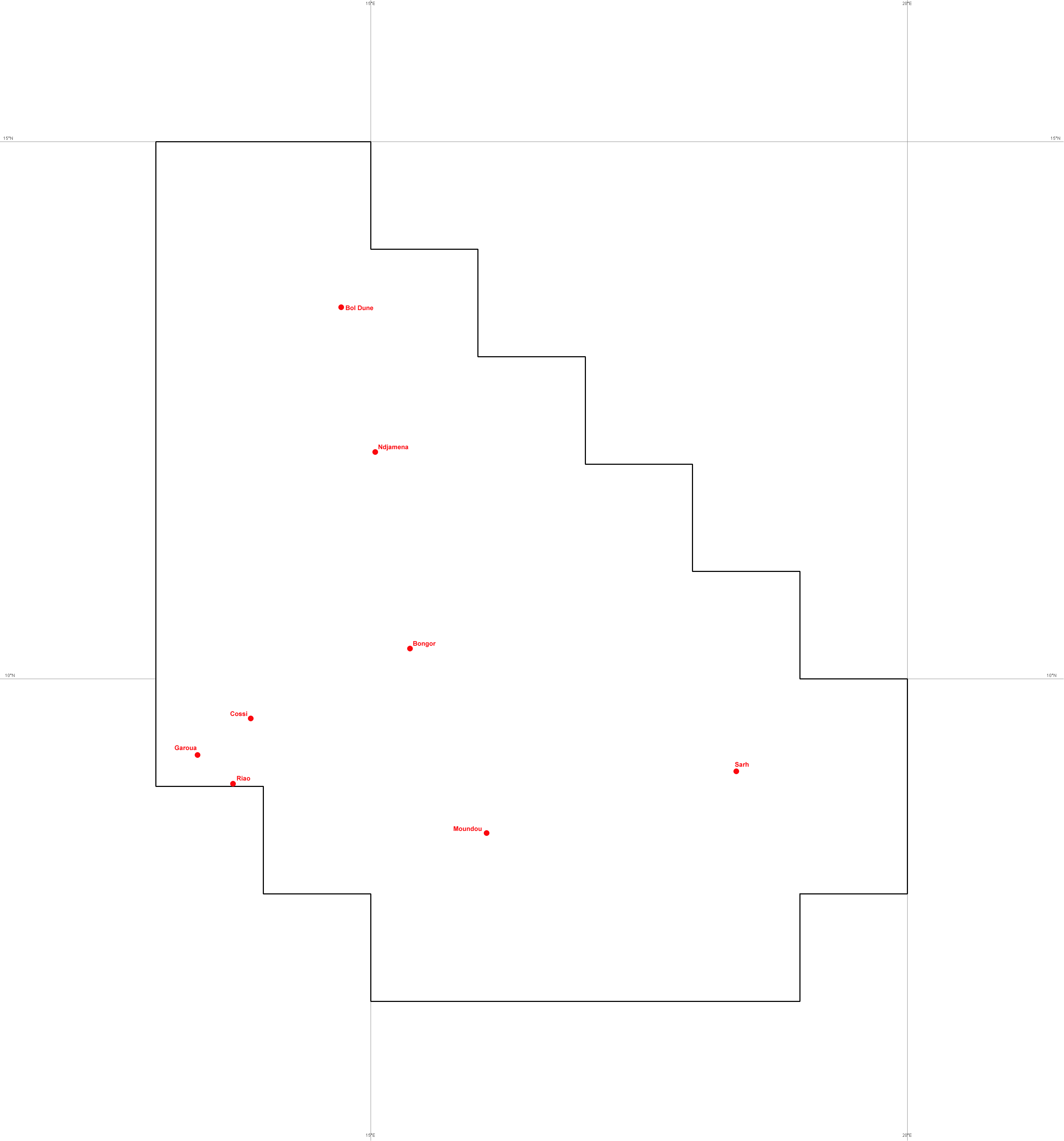
Main hydrographic stations © IRD
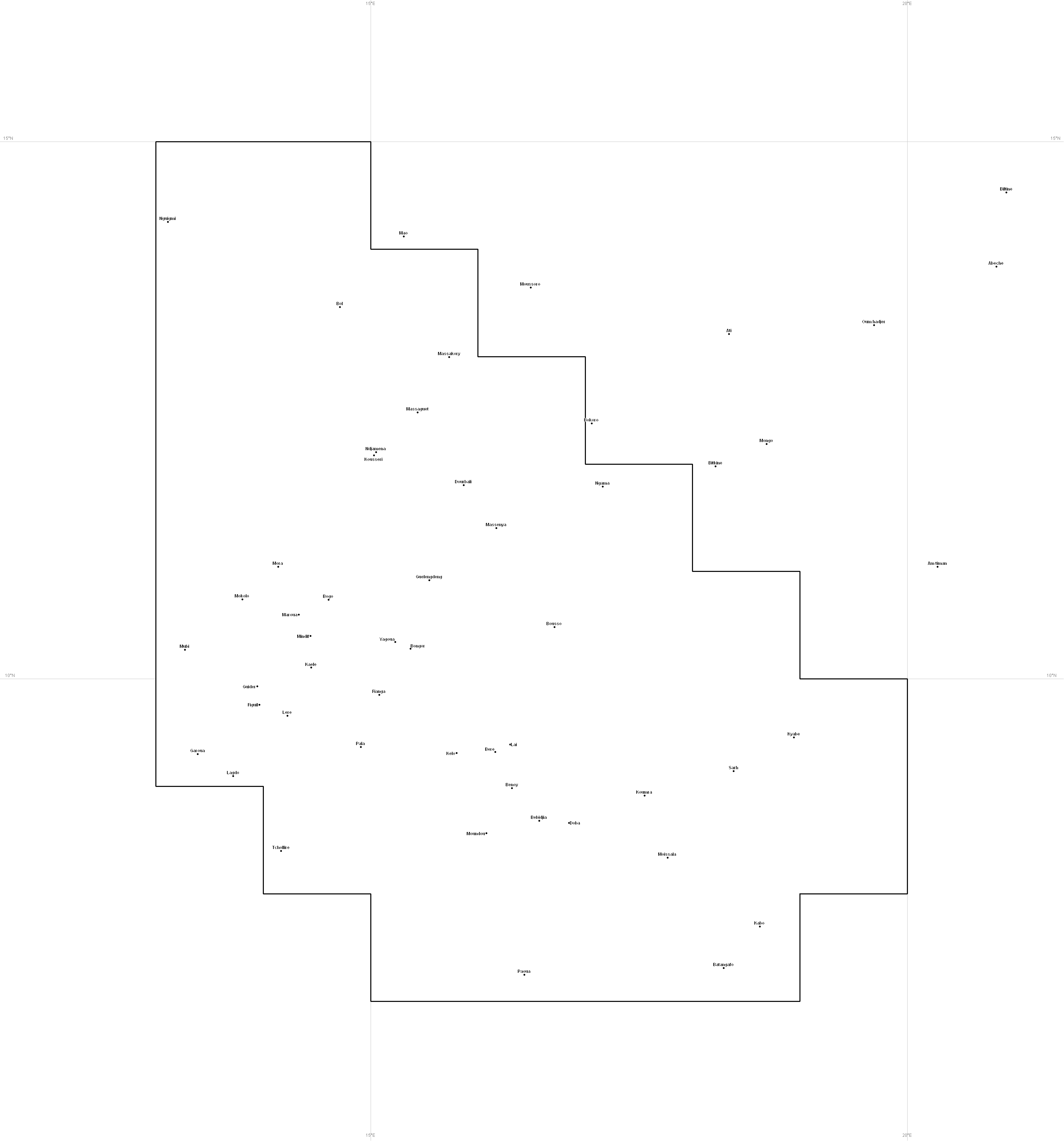
Main cities
© NGA (Geonames)
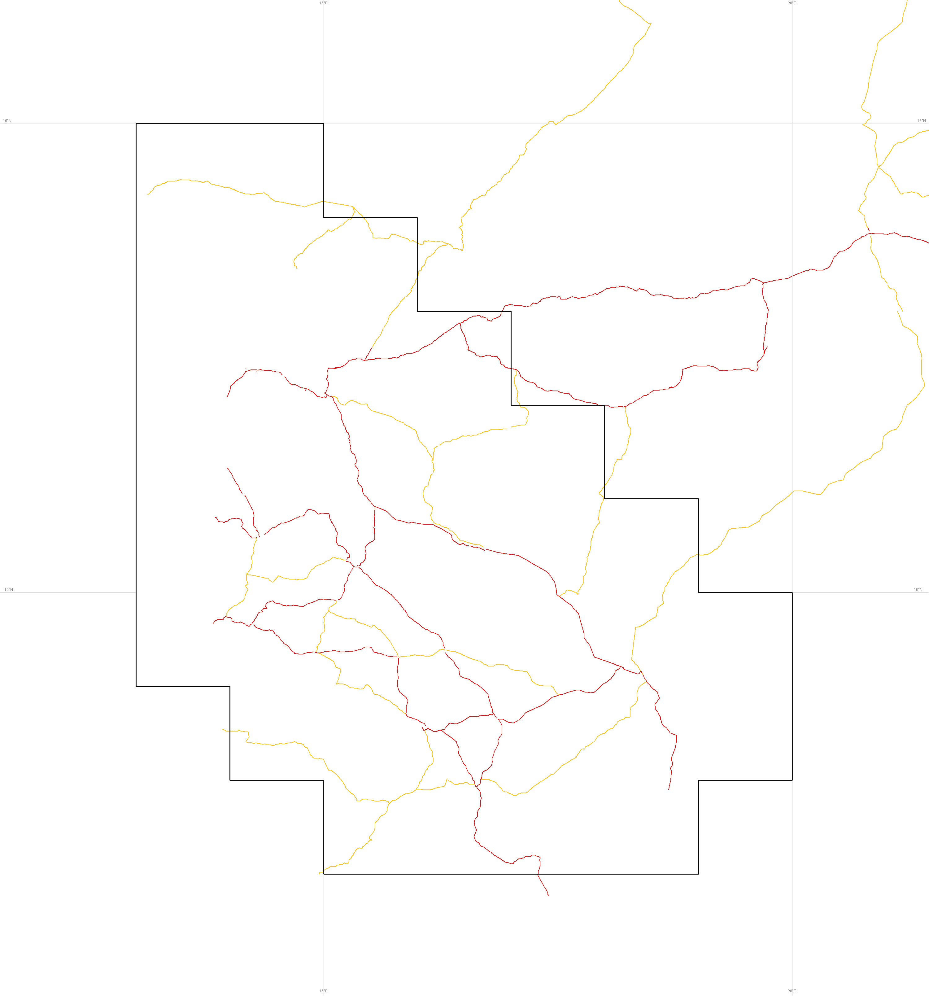
Main roads © IGN 1/1 500 000 touristic map
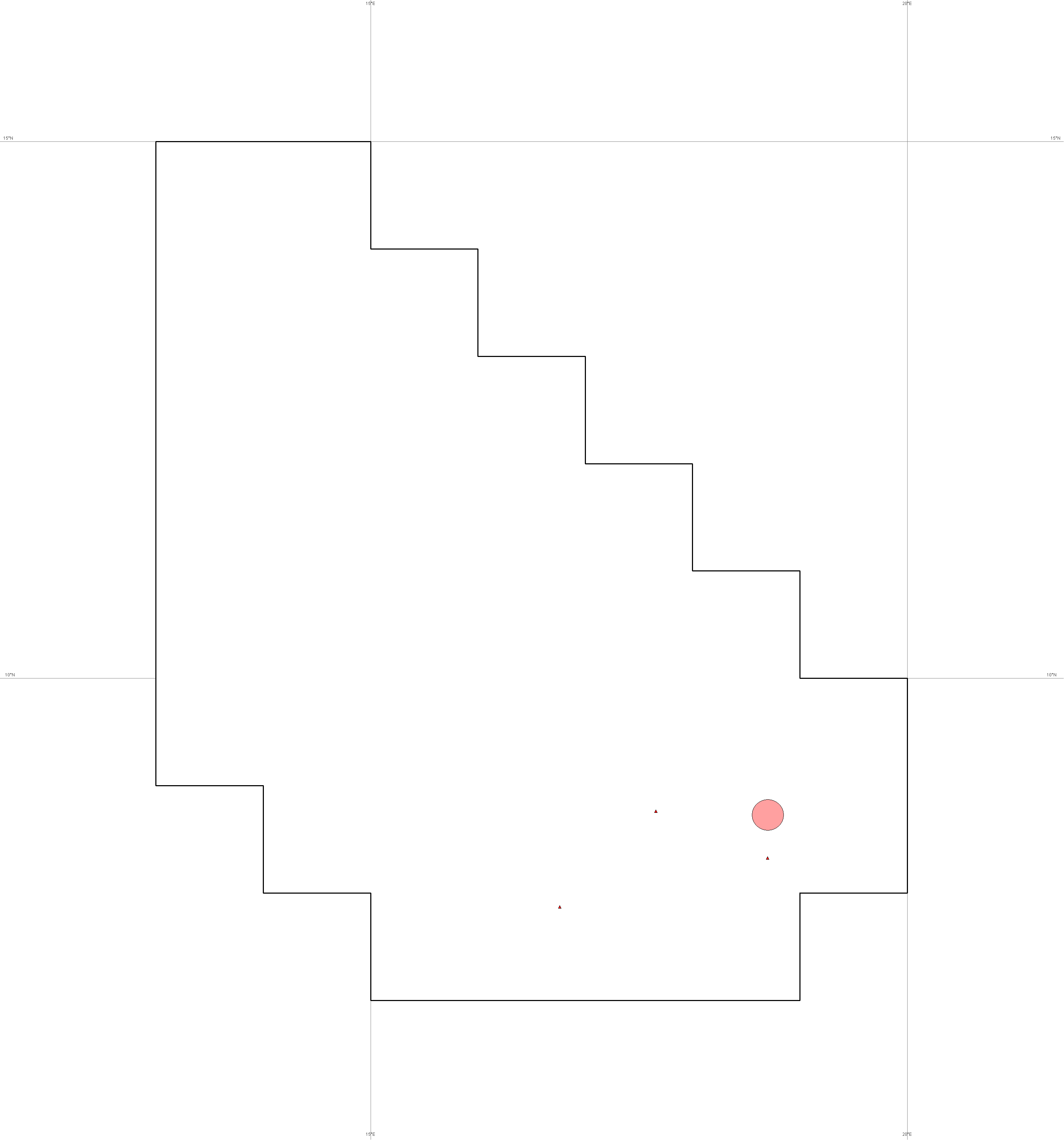
Refugee camps
© UNHCR
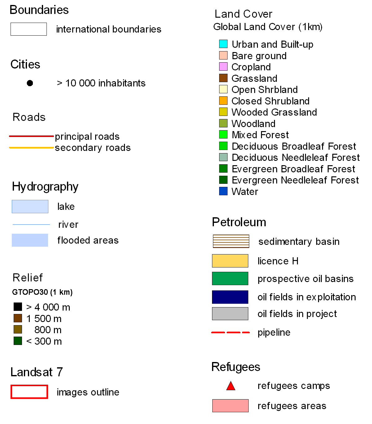
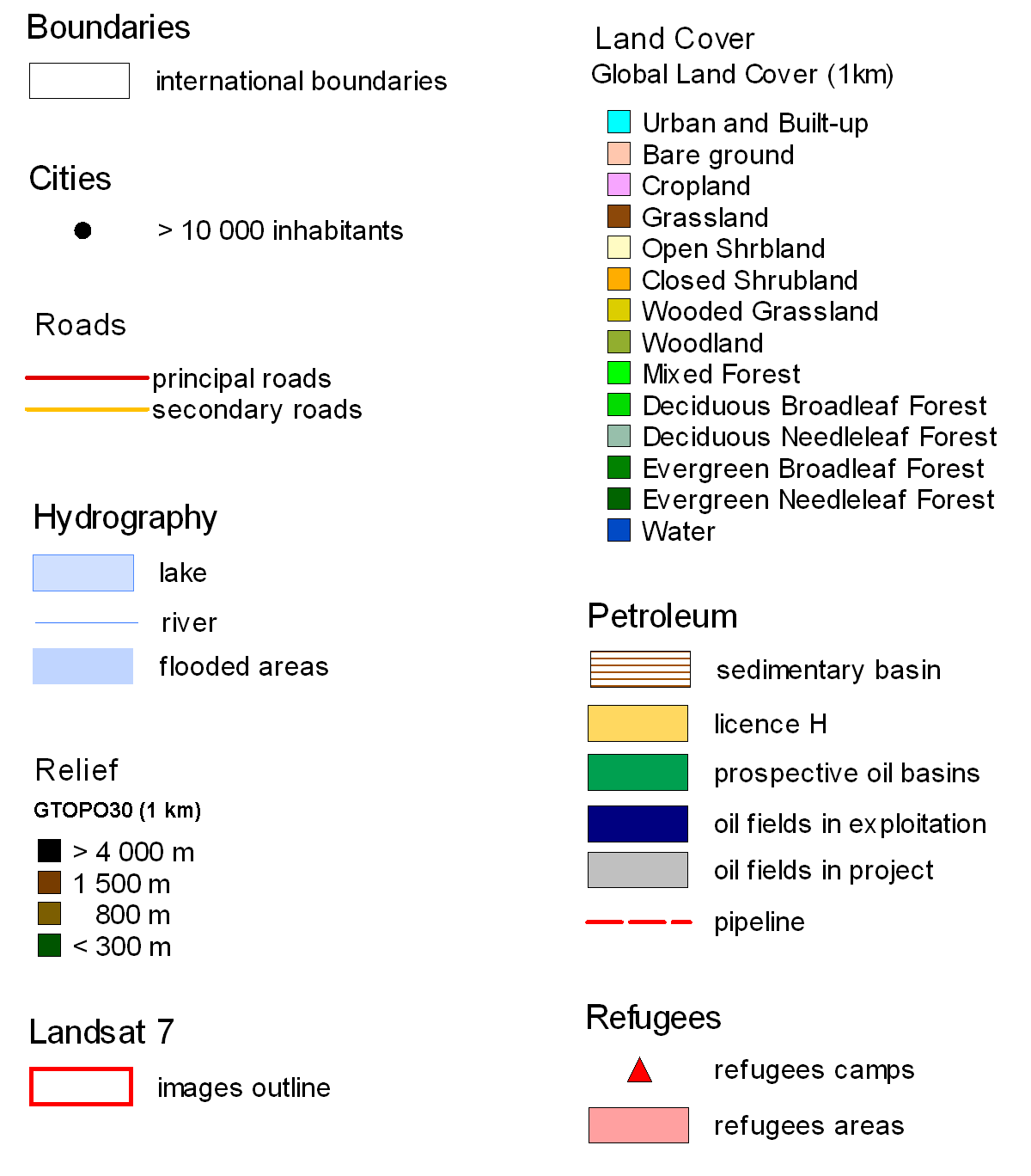
Maps legends
© Geo212
All files are 3000 x 3216 pixels and provided in png format and cover 1080 x 1180 km
Square pixel size : 360 meters / Square pixel area : 0.1296 km2
Files can be managed as individual layers in any image software : Photoshop, Paintshop Pro, …
Coordinates : Lat/long in degrees
Projection system : Nad27 Coordinates conversion for external documents http://www.fcc.gov/fcc-bin/convertDMS
2. Thematics maps linked to the project
© Géo212
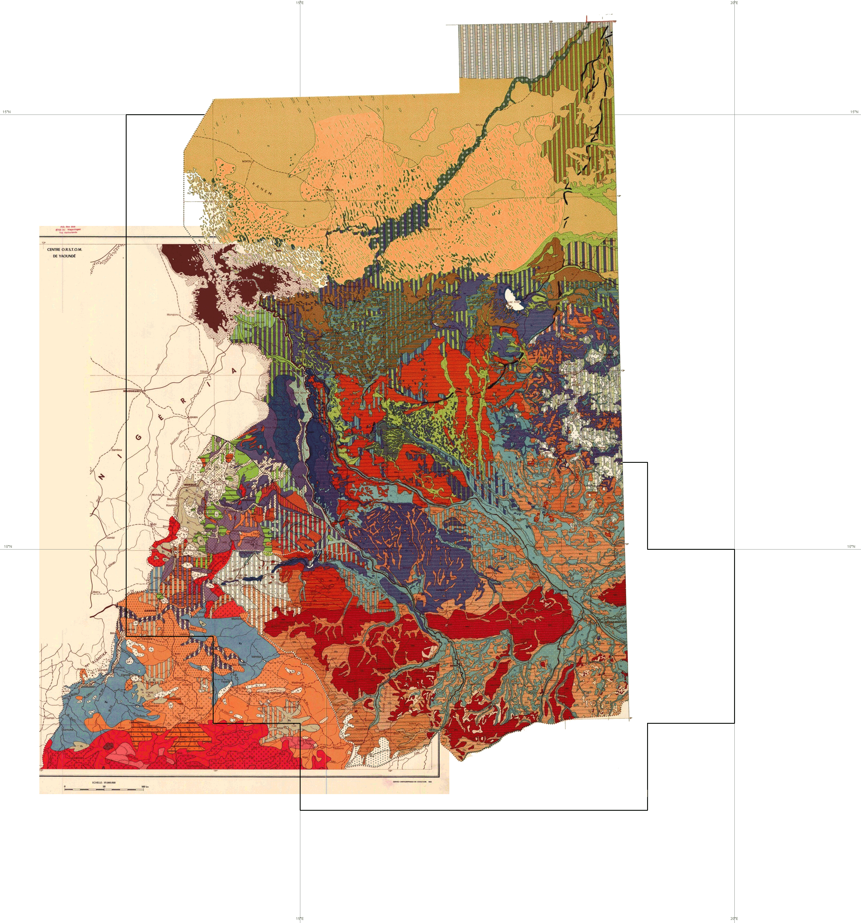
Soil Maps © IRD
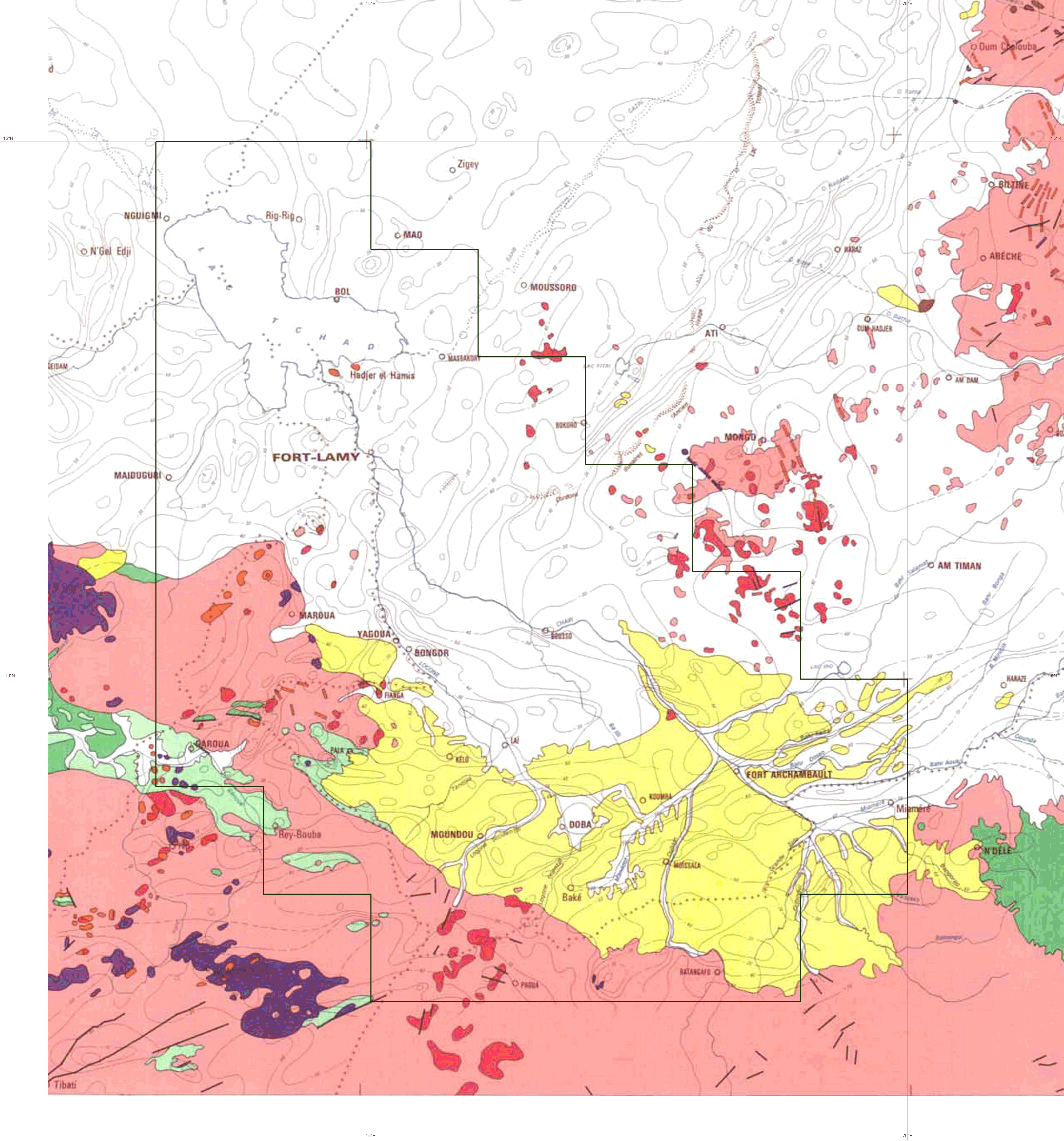
Lithology
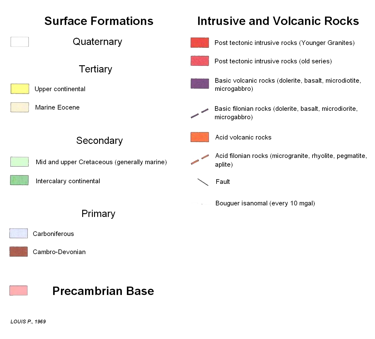
© IRD GI3_carte_géologique.png : Geology map legend
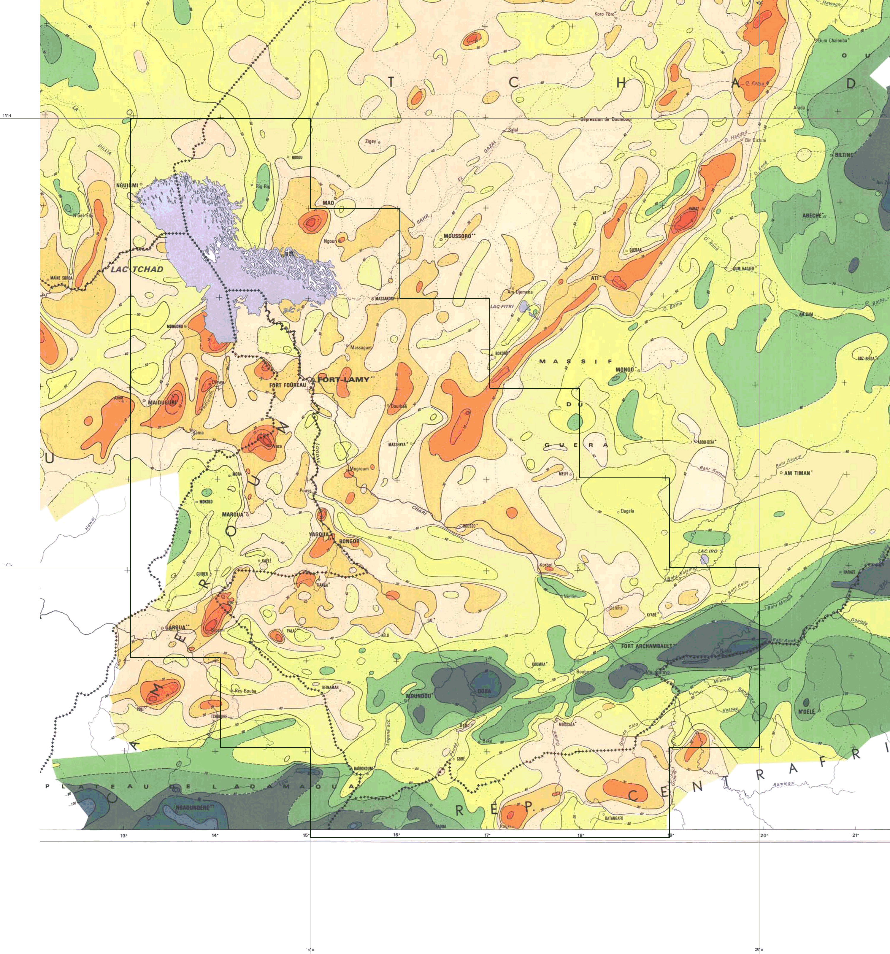
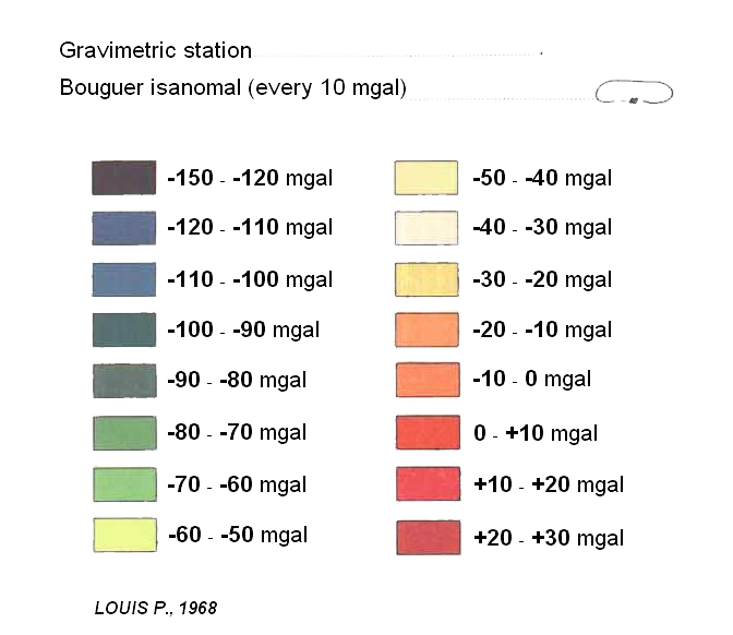
Bouguer anomaly © IRD : Gravimetry map legend
Oil companies concessions
© Petroconsultants - IHS Energy
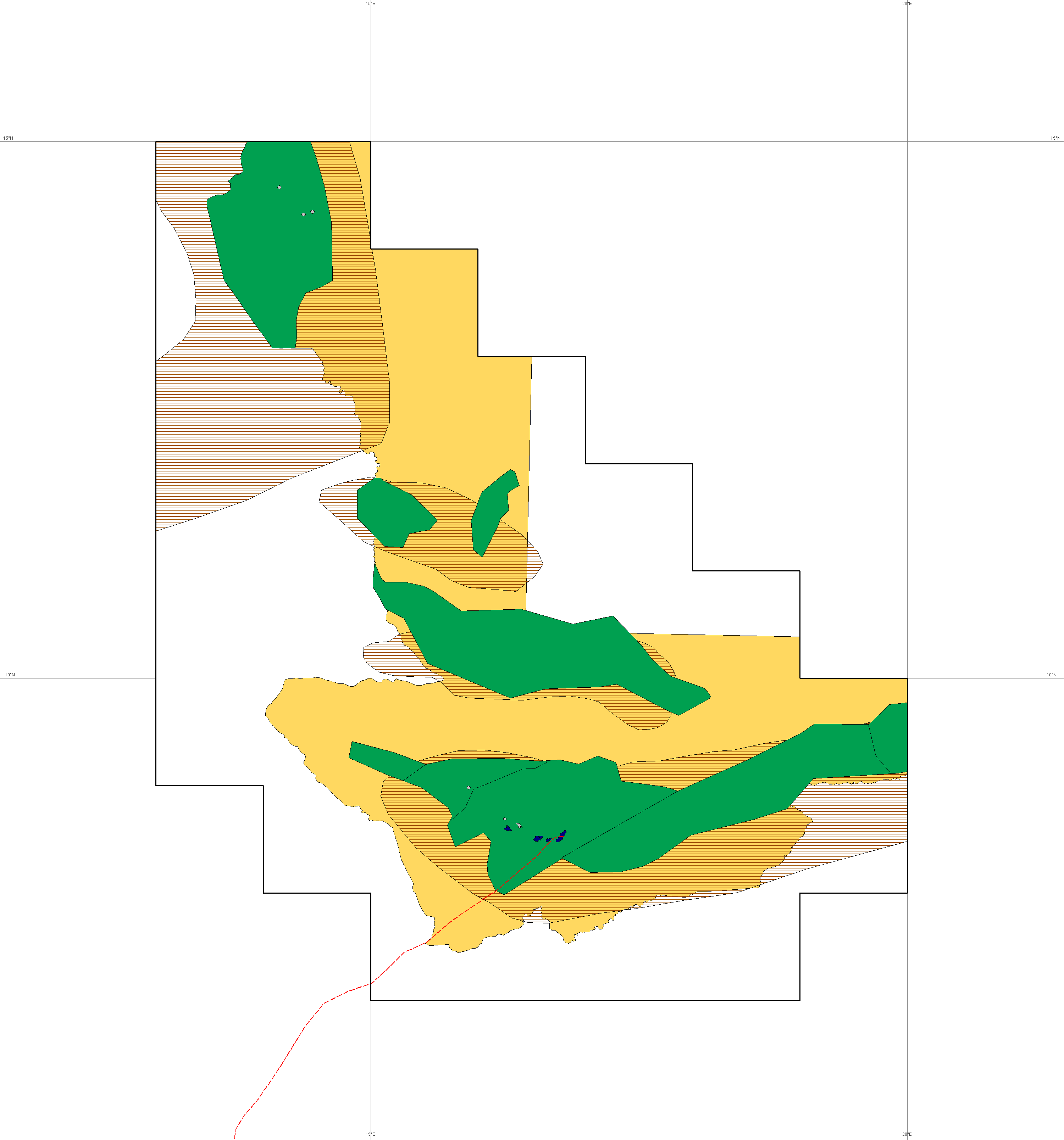
Actual petroleum fields & Doba - Kribi pipeline © Geo212
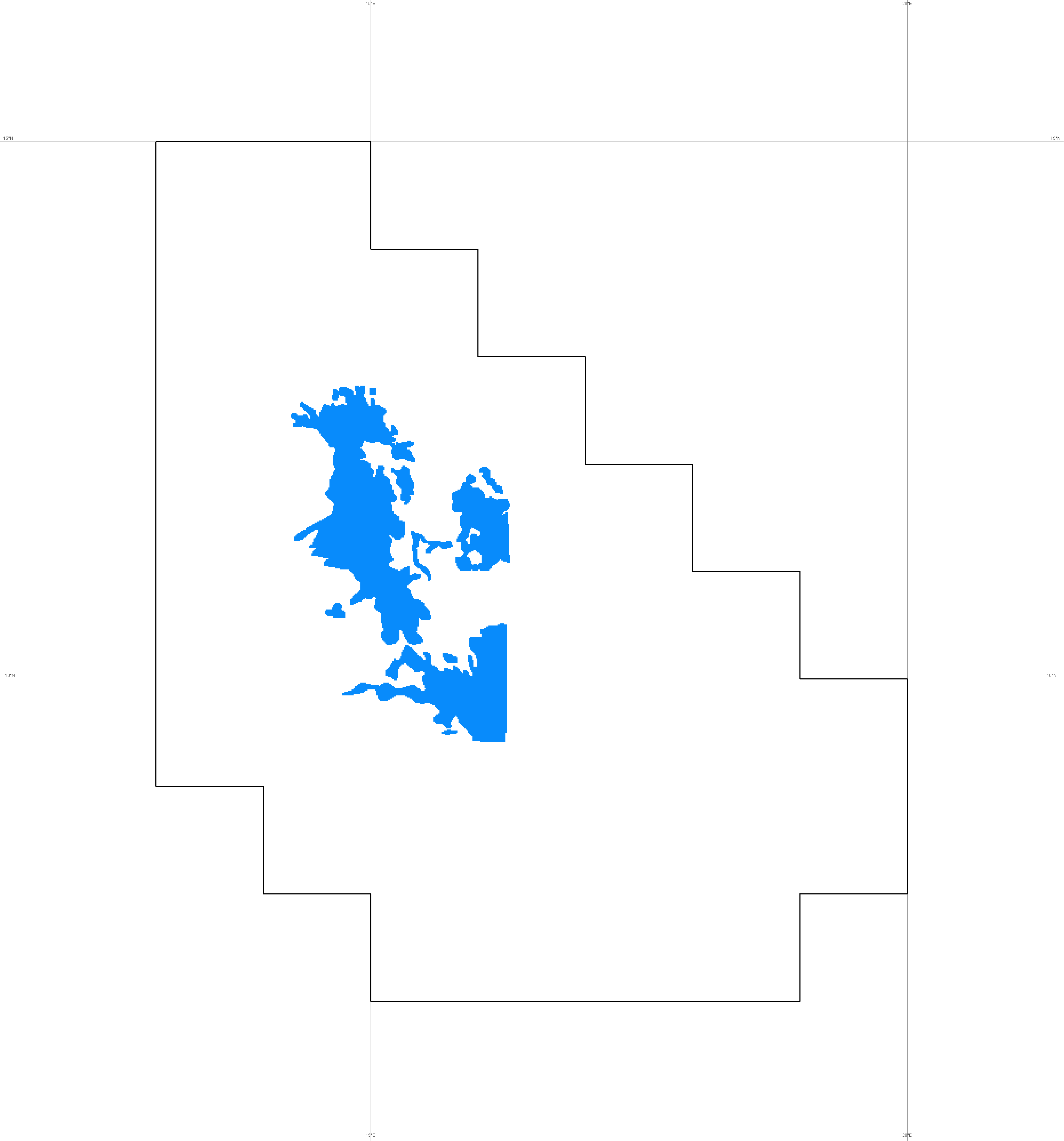
Soviet Maps flood plain © Soviet Union Army
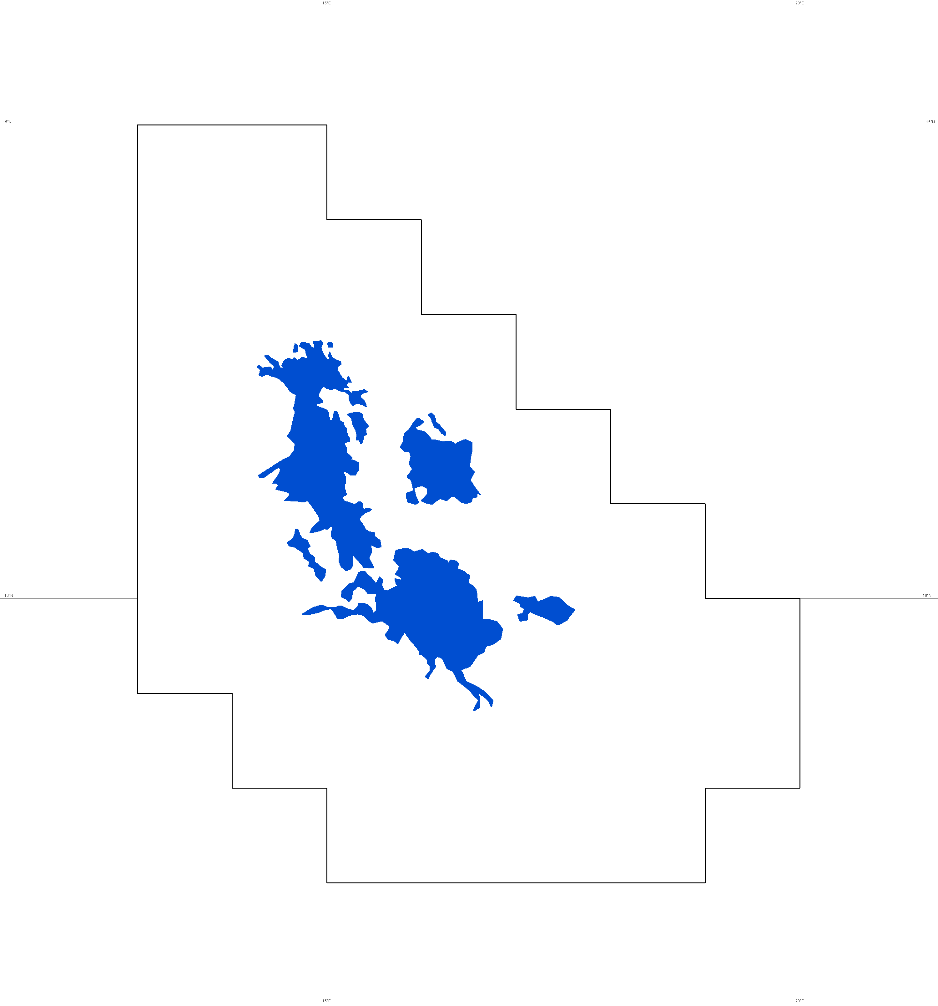
Logone flood plain from IGN map
© IGN
J. Cabot flood plain geomorphology maps © J. Cabot
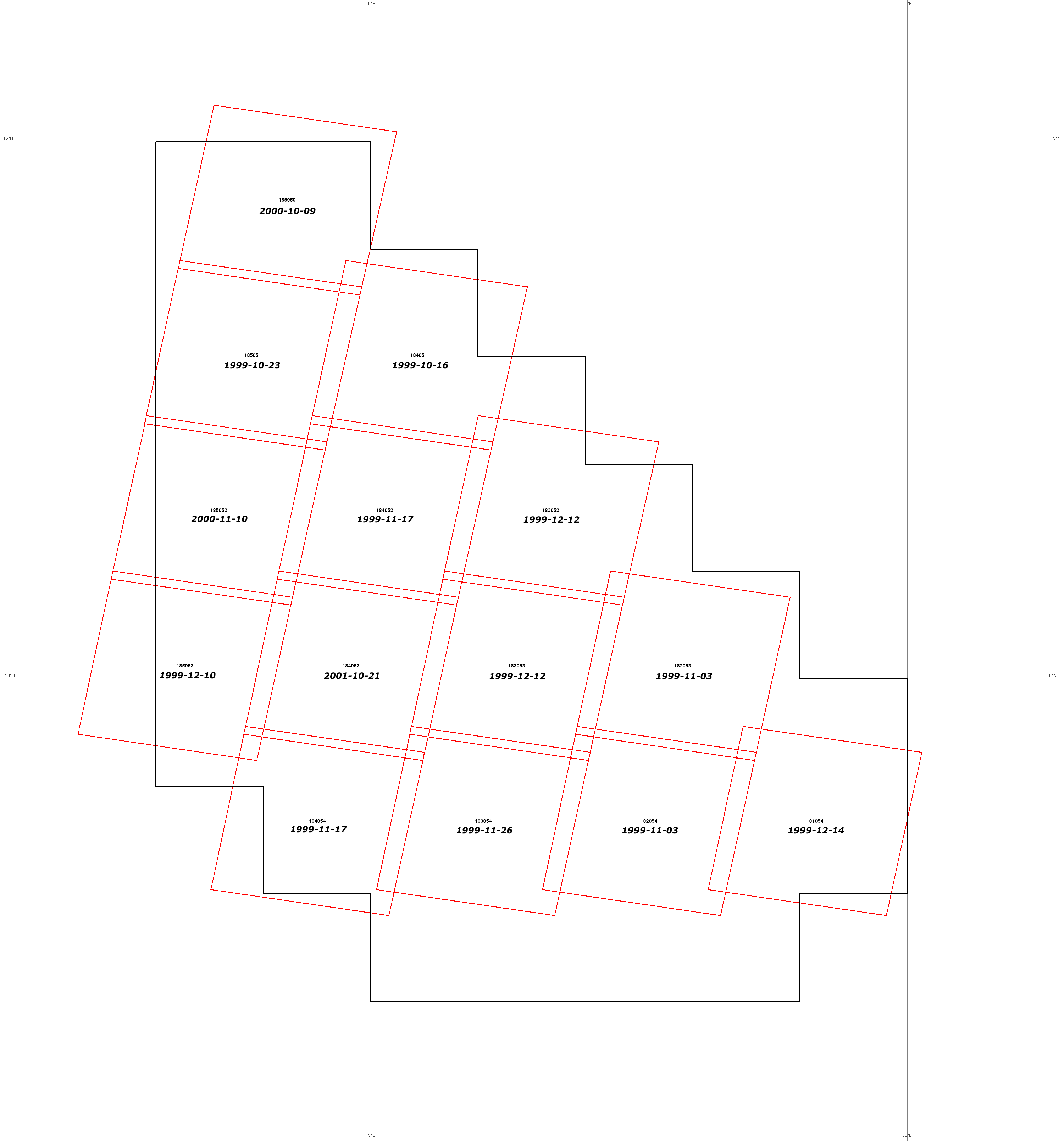
Landsat 7 coverage metadata
© USGS
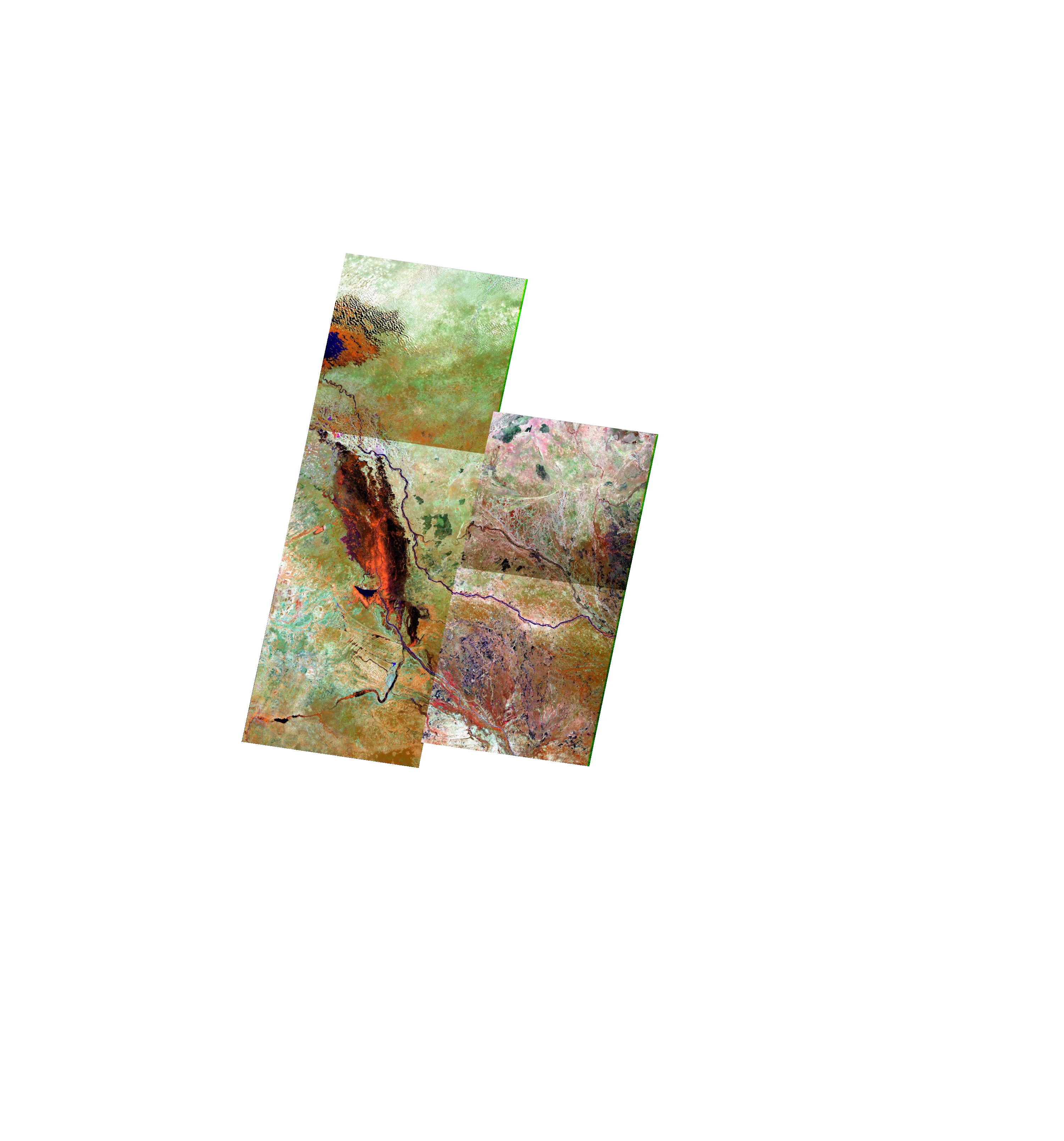
Landsat 7 coverage (small area : 3 Mo) © USGS
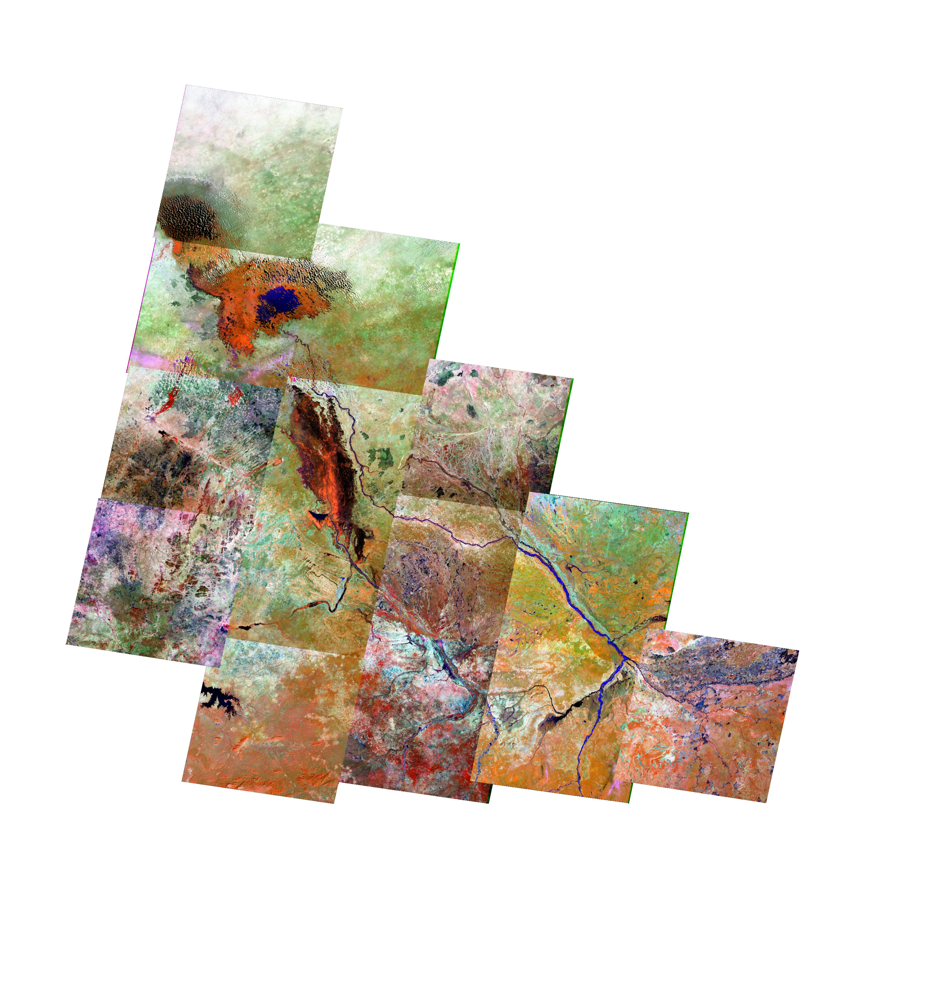
Landsat 7 coverage (large area : 7.6 Mo) © USGS
Maps legends © Geo212
All files are 3000 x 3216 pixels and provided in png format and cover 1080 x 1180 km
Square pixel size : 360 meters / Square pixel area : 0.1296 km2
They can be managed as individual layers in any image software : Photoshop, Paintshop Pro, … Coordinates : Lat/long in degrees
Projection system : Nad27
Coordinates conversion for external documents http://www.fcc.gov/fcc-bin/convertDMS
|