|
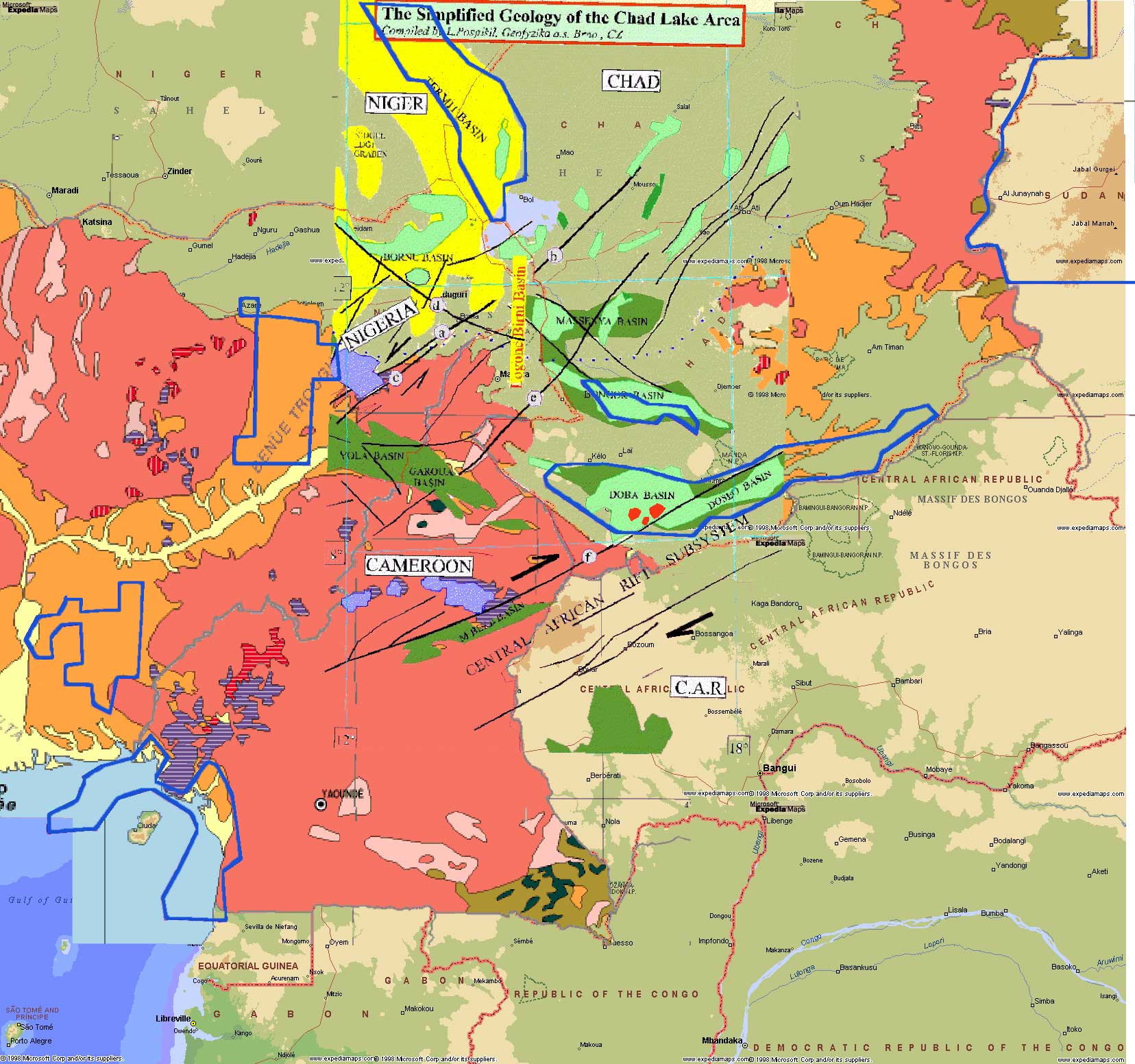
 1 - Possible oil fields development scenarios 1 - Possible oil fields development scenarios 
- Proven : Doba basin
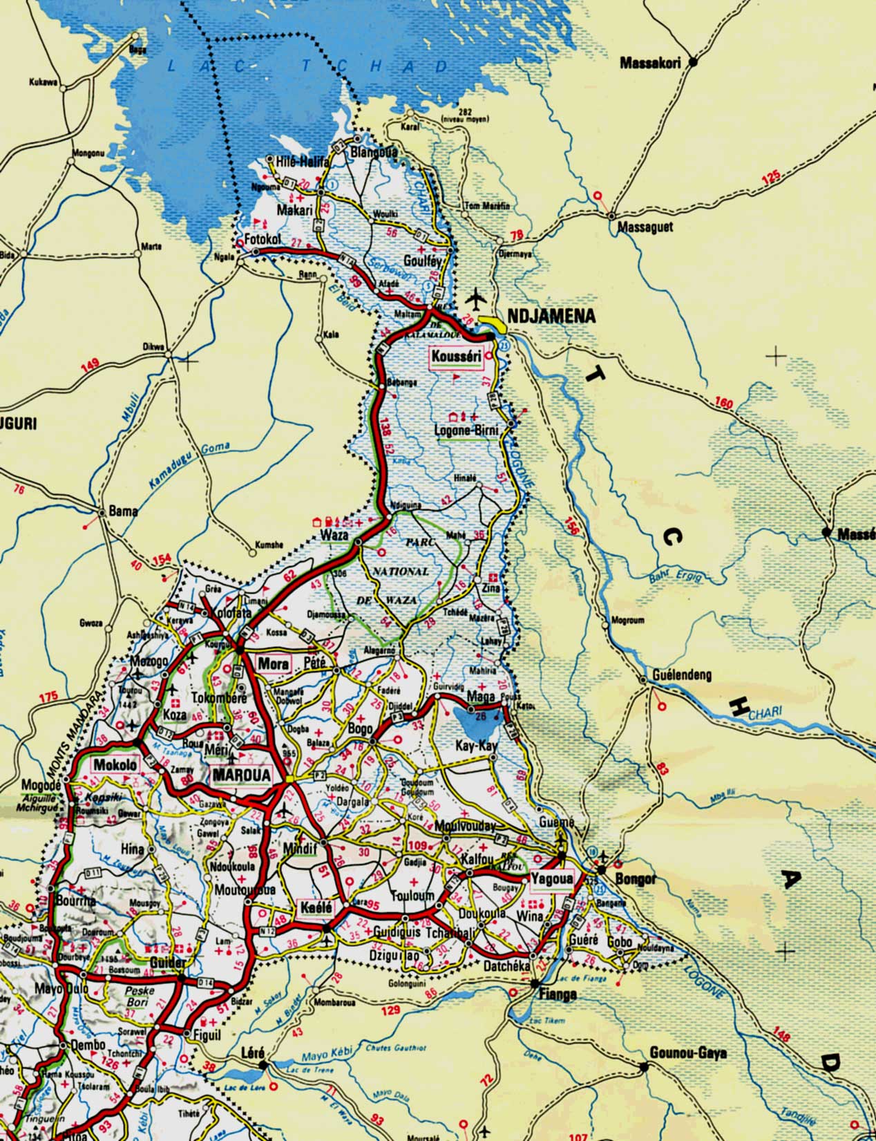
- Development 1 : Bongor basin
- Development 2 : Massenya basin
- Development 3 : Logone-Birni extension (in Cameroon)

|
|
|
Regional and local petroleum geology with concessions |
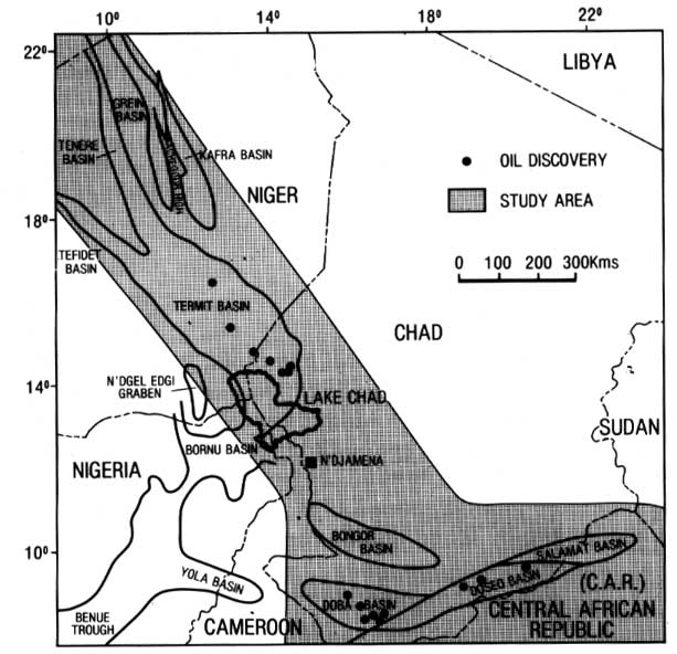
Regional petroleum study
@ G.J Genik |
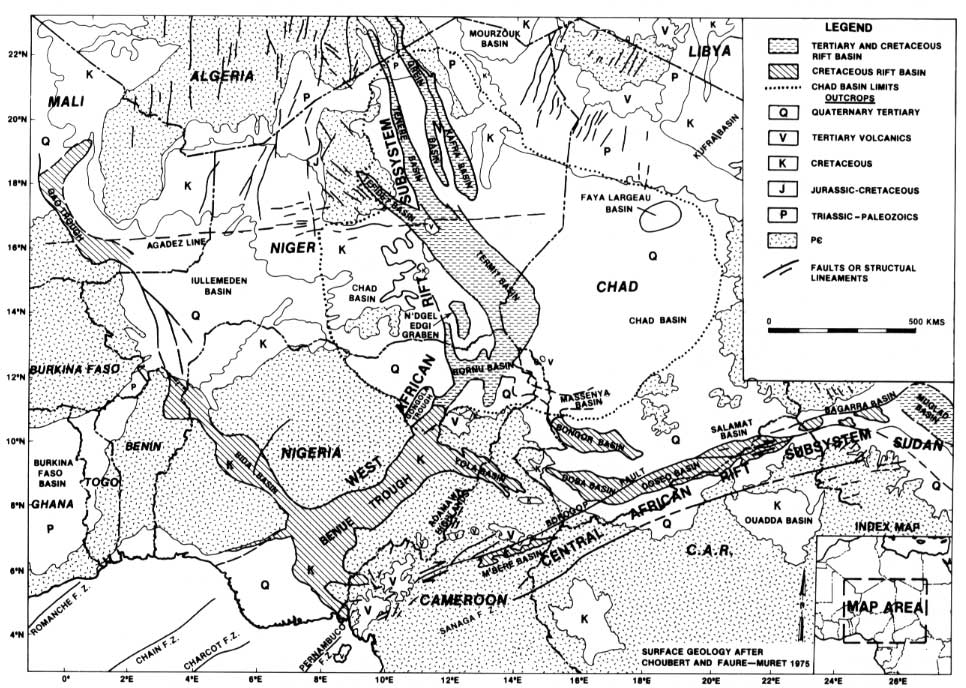
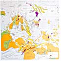
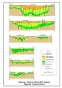
West and Central Africa rift system
@ G.J Genik |
|
|
|
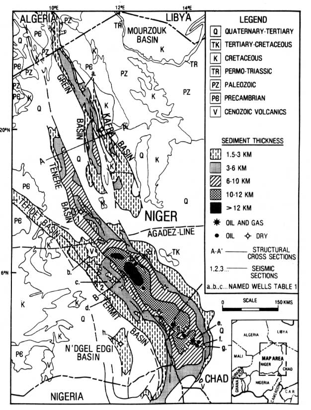
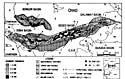
Niger and North-West Chad geology
@ G.J Genik |
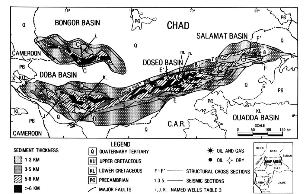
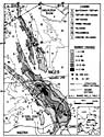
Doba, Doseo, Salamat basin geology
@ G.J Genik |
Structural framework of Niger basins
@ PetroWeb |
|
|
|
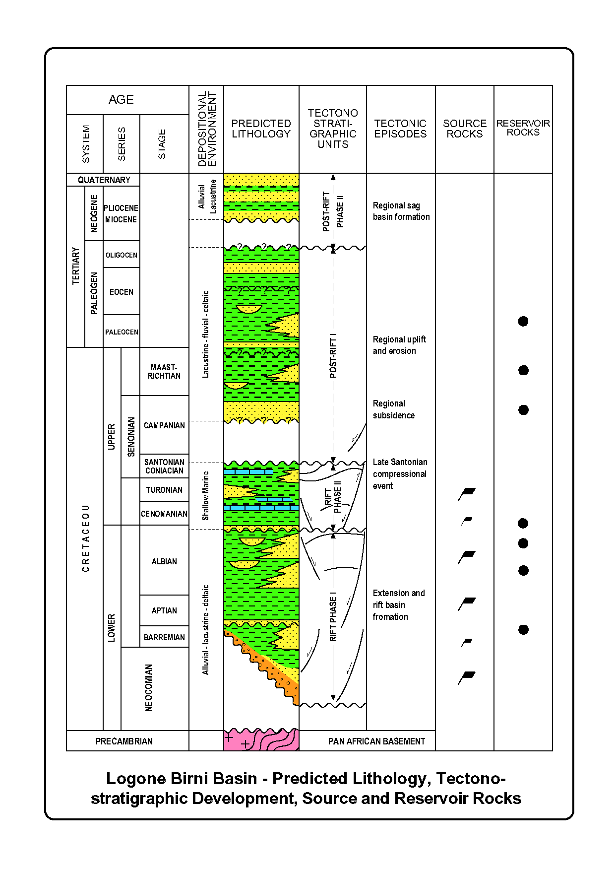
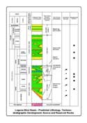
Logone Birni Basin - Predicted Lithology, Tectonostratigraphic
Development, Source and Reservoir Rock
(from SNH- Cameroon)
[PDF] |
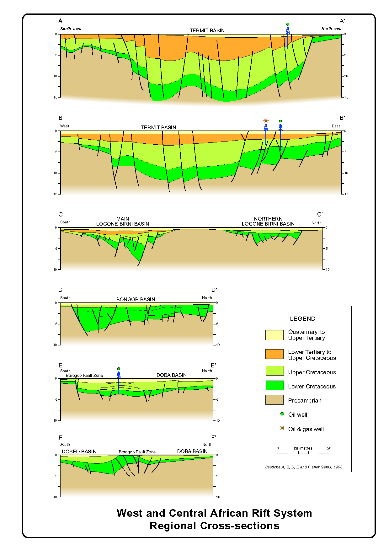
West and Central African Rift System
Regional Cross-sections
(from
SNH- Cameroon)
[PDF] |
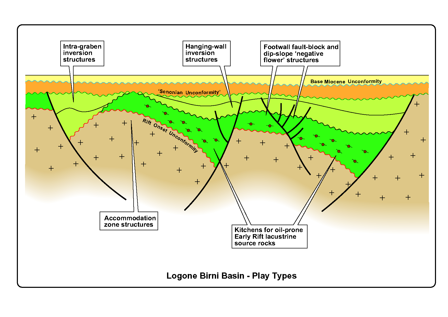
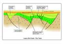
Logone Birni Basin - Play Types
(from SNH- Cameroon)
[PDF] |
Bibliography : Genik, G.J., 1993. Petroleum geology of Cretaceous-Tertiary rift basins in Niger,
Chad, and Central-African-Republic. American Association of Petroleum Geologists Bulletin, 77: 1405-1434
2 - The challenges behind developing the southern Chad economy
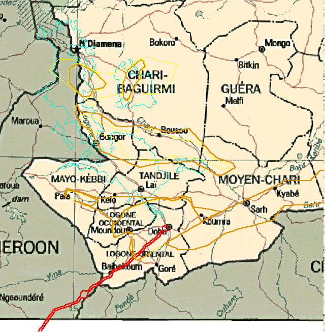
- 5 regions : Chari Baguirmi, Mayo Kebbi, Tandjilé, Logone Occidental and Oriental
- Agriculture : acacia latex, palm trees, rice, mil et cotton.
- The development of agriculture as well as land-use are not planned at government level.
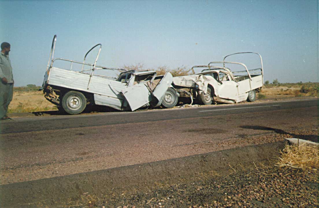
- The road network is scarce but improvement projects are underway. Pipeline project needs : bridges, service roads and socio-economic inventory
- Population is increasing rapidly and unplanned
- Environmental degradation : farming practices, cattle, firewood, impact of droughts…
- Petroleum products : imported, covers 10% of total energy consumption…
The challenge : fulfilling local demand, providing an alternate source of energy and positive impact on economy an environmental protection. Learn more from Dr. J. Andigué report (in French) ....

|
|
|
|
ADMINISTRATION
map of South Chad with oil basins and pipeline |
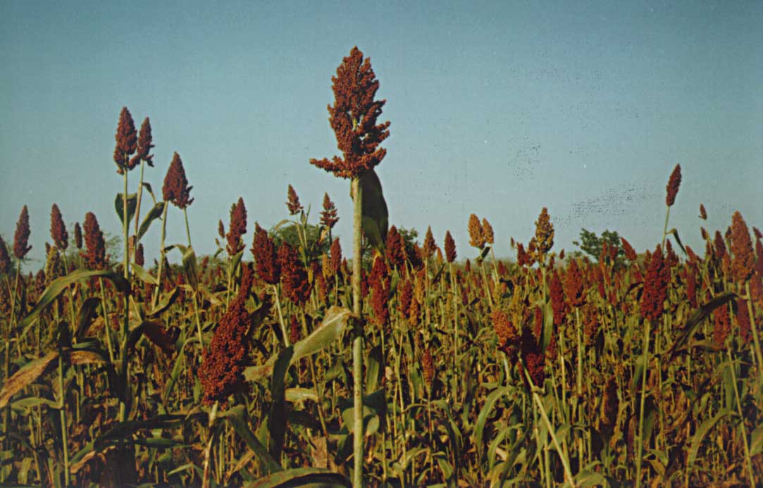
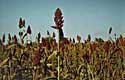
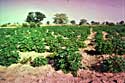
AGRICULTURE
Sorgho (mil), a main crop in southern Chad
@ J. Andigué |
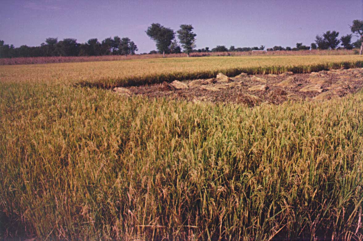
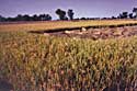
AGRICULTURE
Rice fields a crop developed in floodplains
@ J. Andigué |
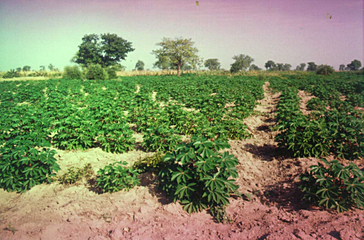
AGRICULTURE
Cassava (manioc), another main crop of Africa
@ J. Andigué |
|
|
|
|
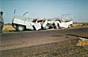
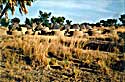
ROADS
Driving is a permanent threat !
@ J. Andigué |
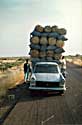
TRANSPORTATION
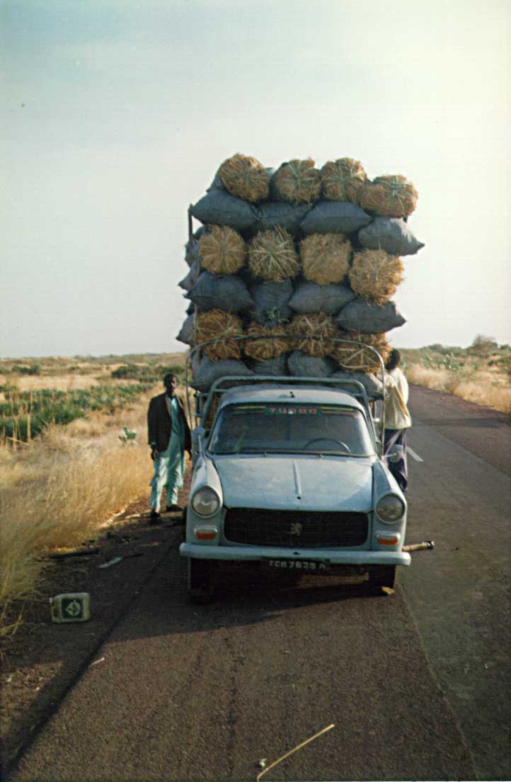
Means of transport need improvement
@ J. Andigué |
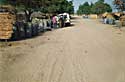
TRANSPORTATION
Road pavement is a scarce luxury
@ J. Andigué |
POPULATION
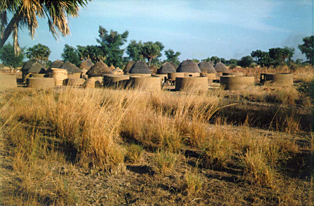
Demographic planning is lacking in rural areas
@ J. Andigué |
|
|
|
|
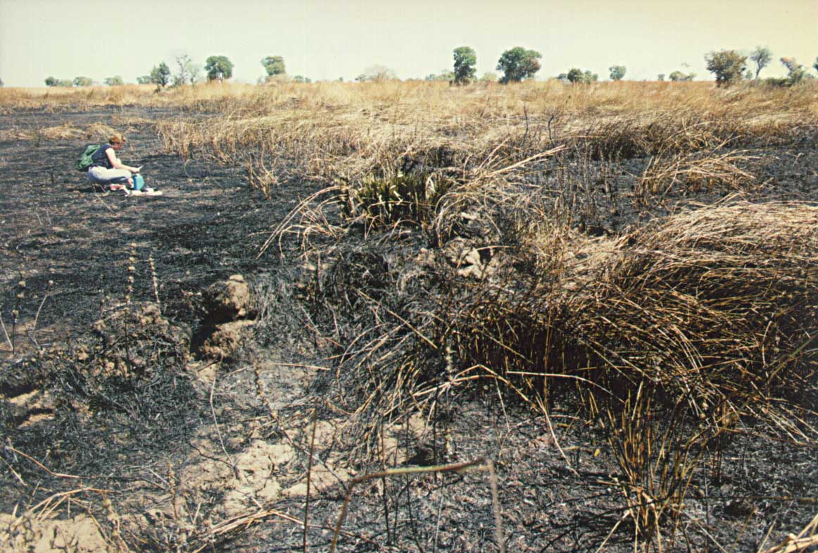
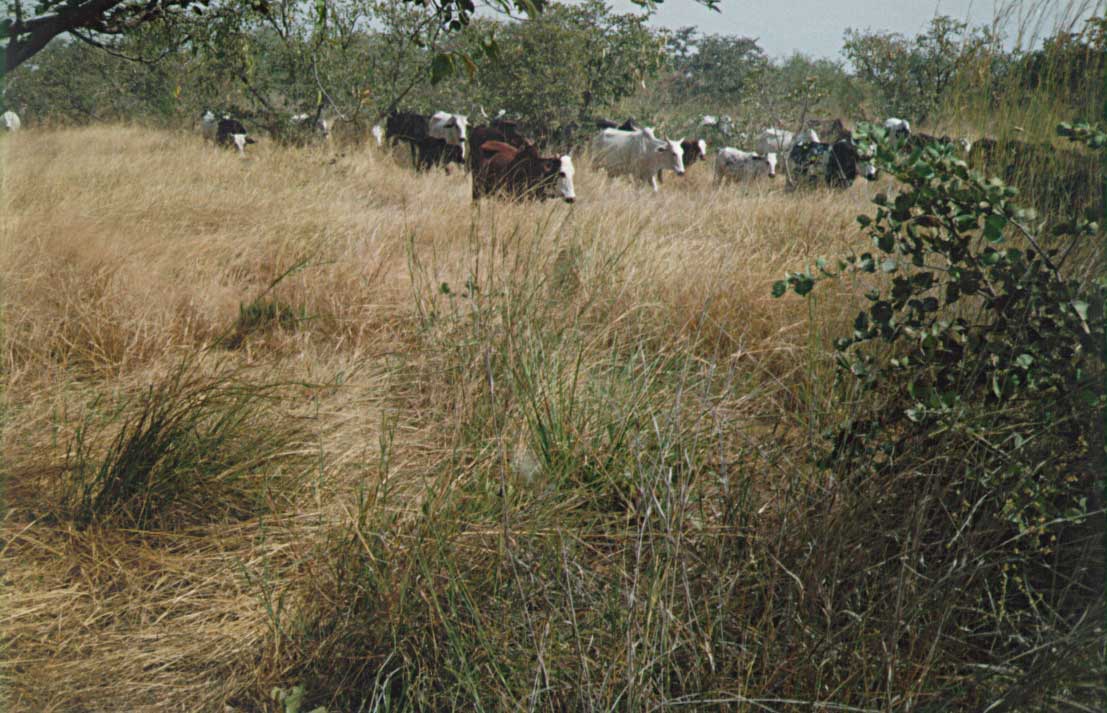
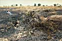
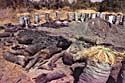
CATTLE
Bush fires frequently set by cattlemen
@ J. Andigué |
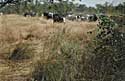
CATTLE
Cattle development conflicts with agriculture and wild life
@ J. Andigué |
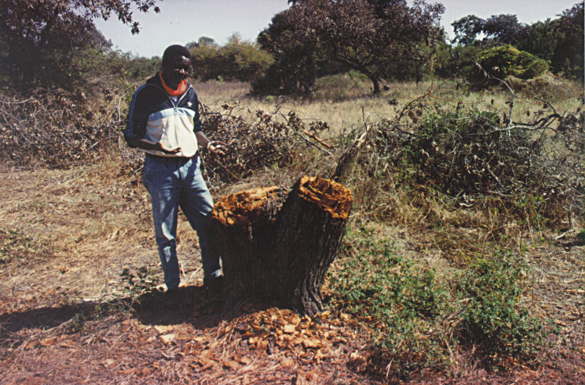
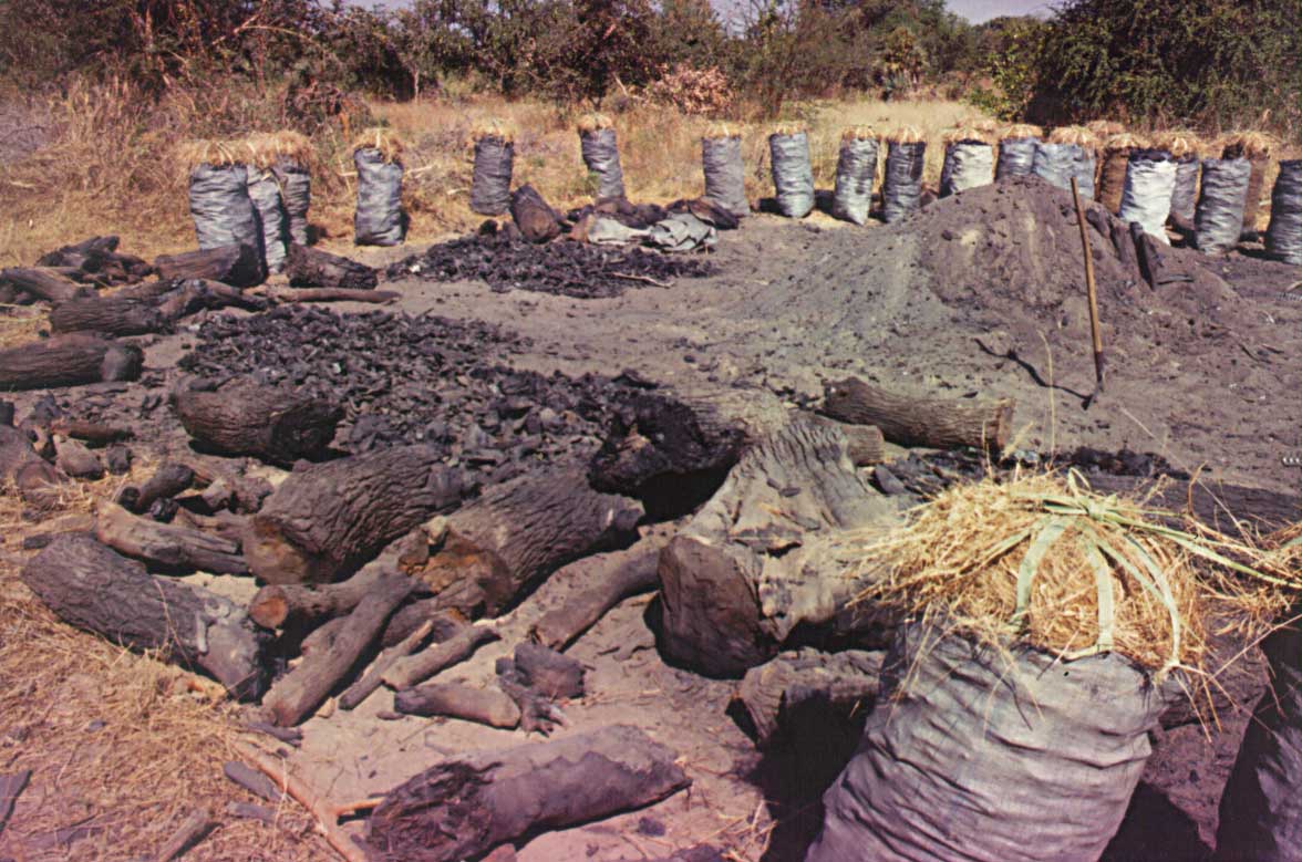
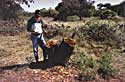
DEFORESTATION
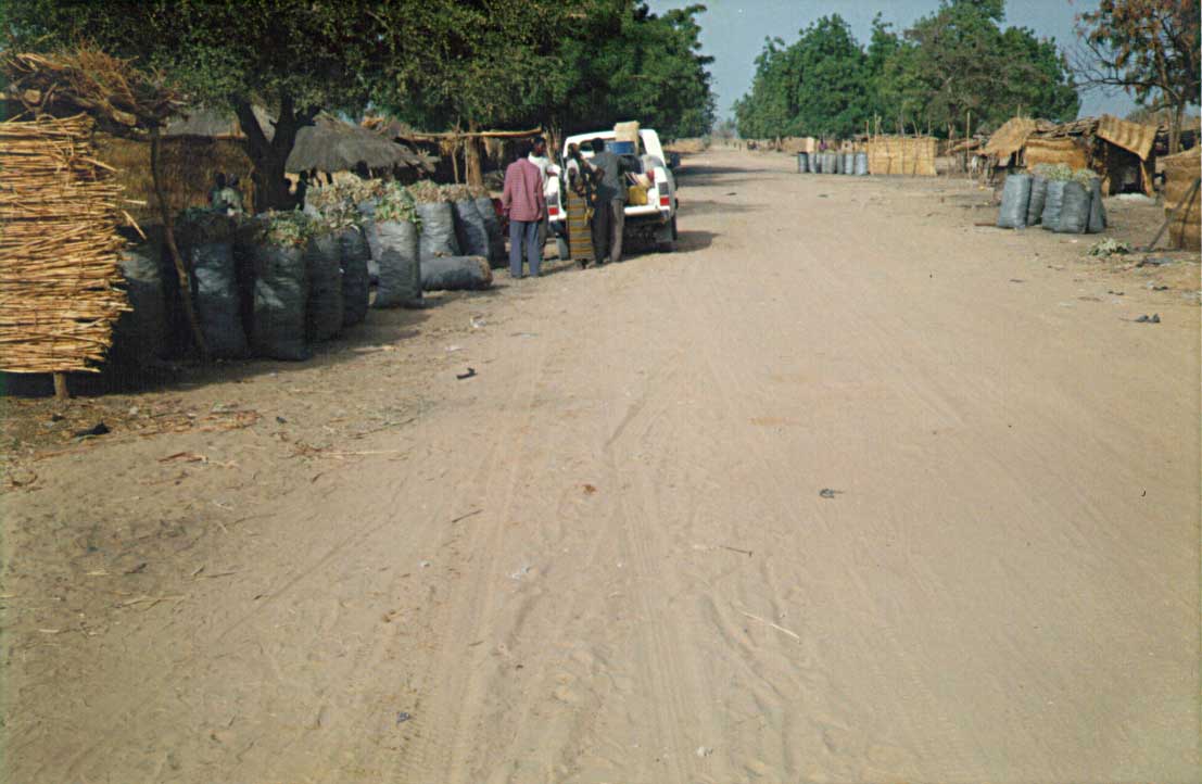
Population slashes savanna for fire wood
@ J. Andigué |
DEFORESTATION
Charcoal production is uncontrolled
@ J. Andigué |
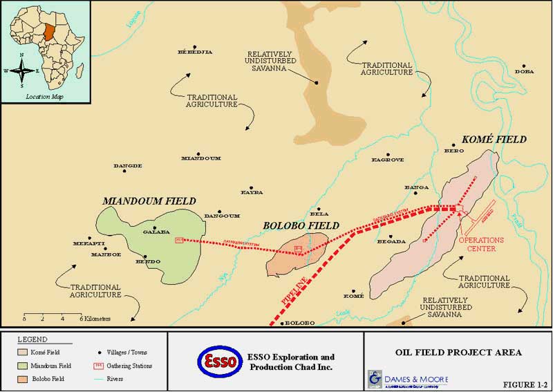
3 - The Doba oil fields (Chad)
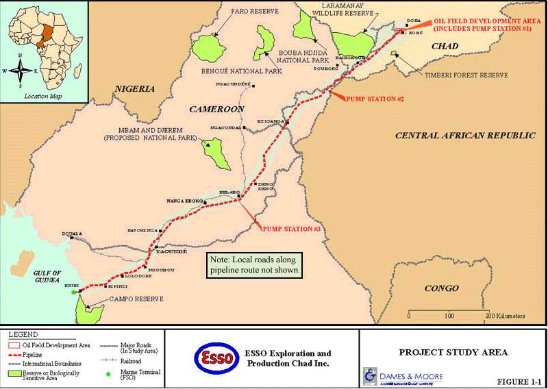
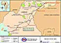
4 - The Doba/Kribi pipeline
- Length : 1050 km, section 30 inches
- Capacity : 250 000 barrels/day
- Buried to the approximate depth of 1 m
- Buried deeper with reinforced walls in certain areas (crossing of rivers, ...)
- Stop valves every 35 km interval
- Monitored 24 hours a day from Houston/Douala
|
|
|
The Doba/Kribi pipeline route
@ Exxon |
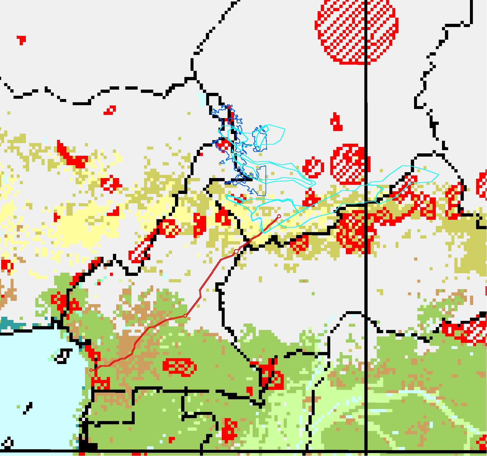
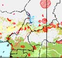
Vegetation and protected areas with oil basins and flood plains |
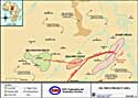
The Doba oil fields infrastructure
@ Exxon |
5 - The Doba project – Technical risks
6 - Surveyed Bongor basin (Chad)
7 - Bongor basin development - Technical risks and constraints

|
|
|
|
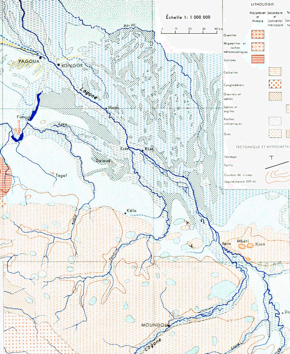
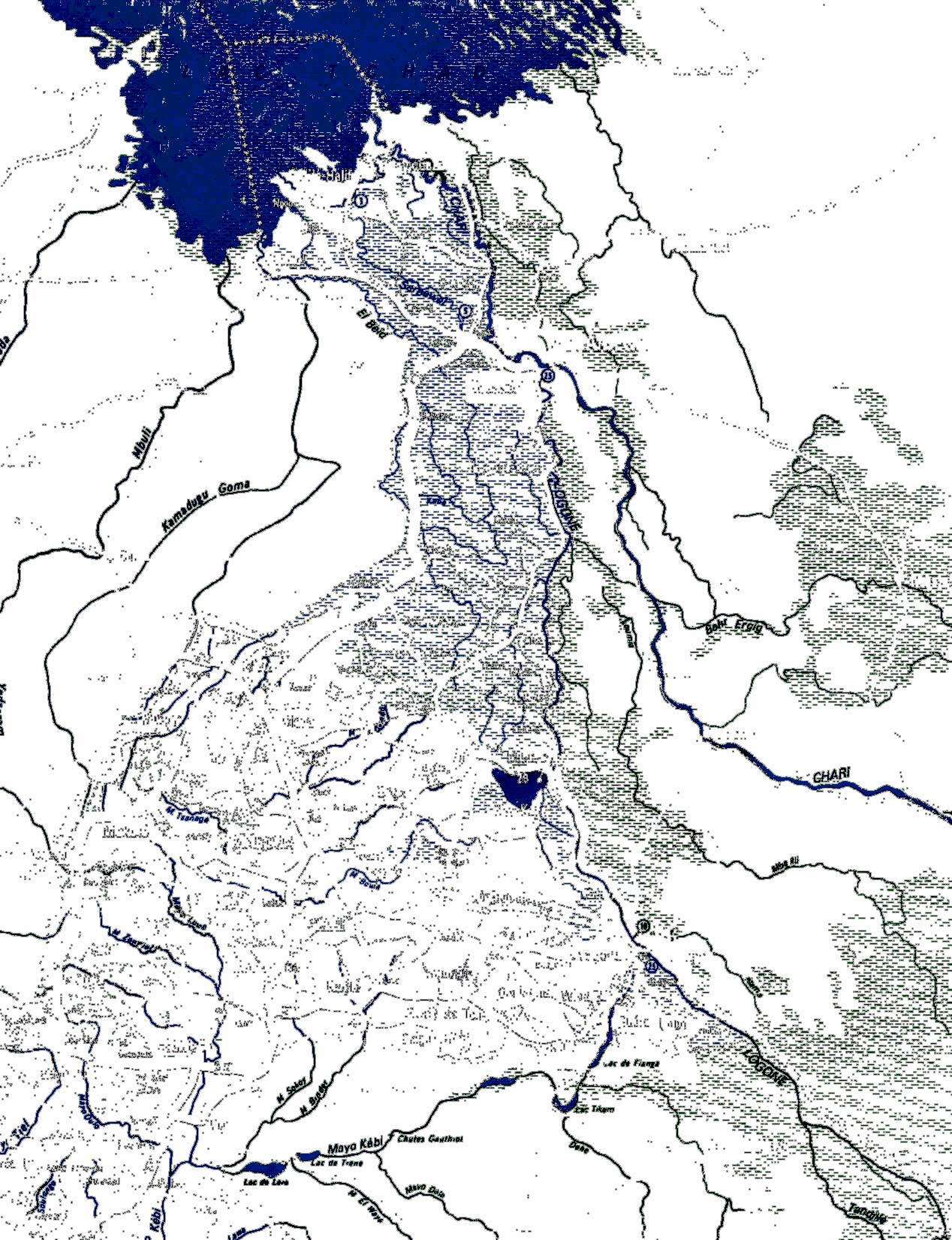
Geomorphology of the Logone floodplains
@ J. Cabot |
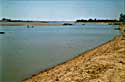
Logone river main stream
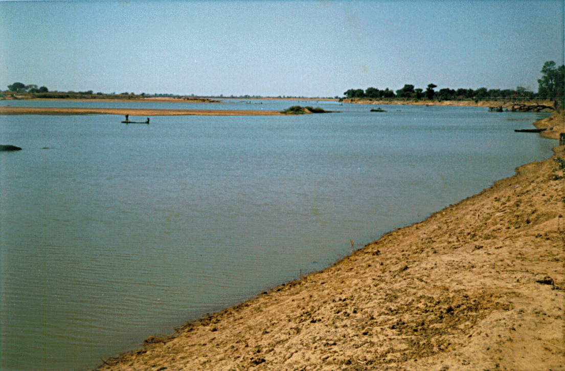
@ J. Andigué |
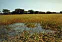
Sorgho fields (béré-béré) planted in retreating flood waters
@ J. Andigué |
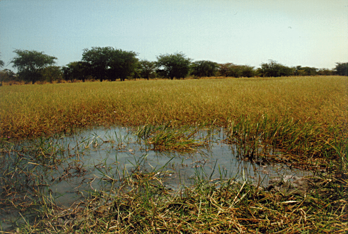
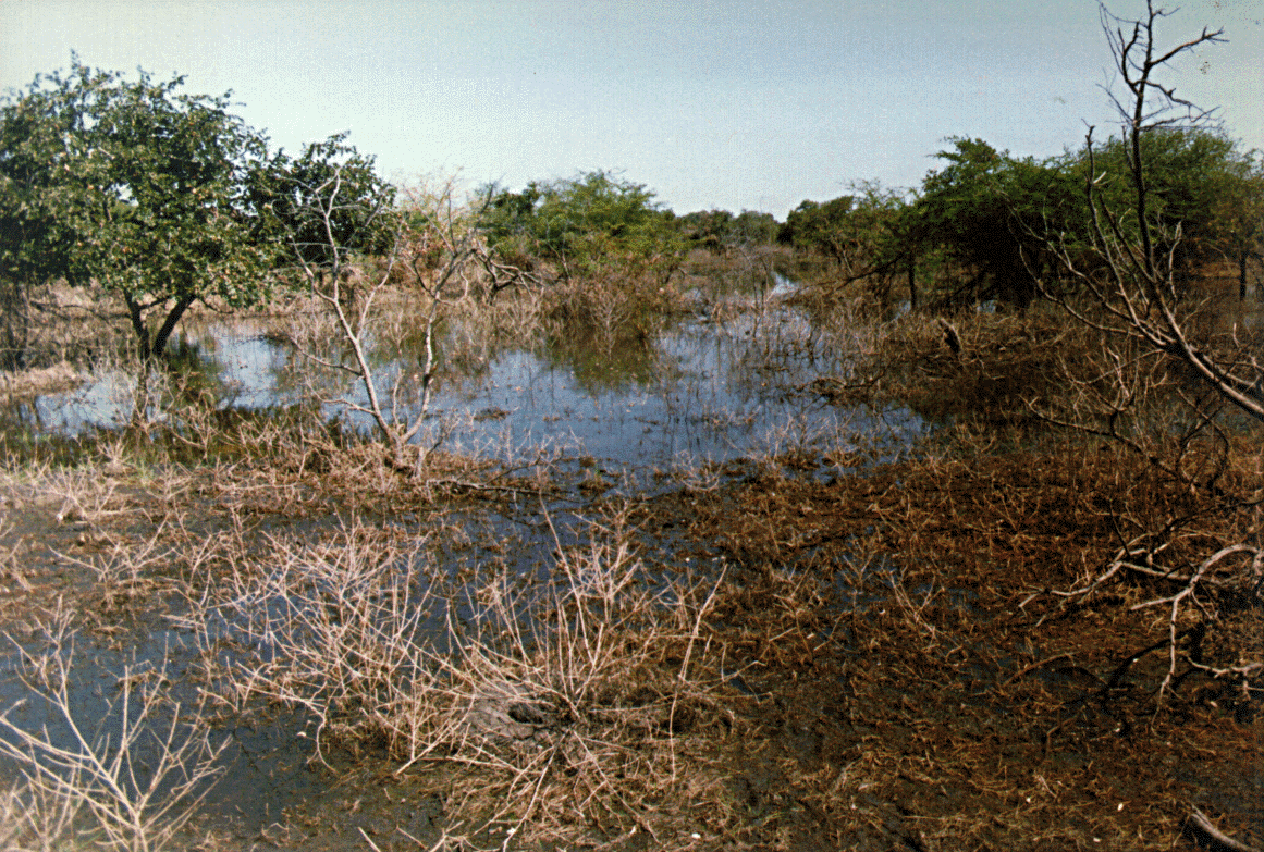
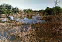
Typical savanna developing in flood plains
@ J. Andigué |
8 - The speculative Massenya basin (Chad)
9 - Land use conflicts - Bongor and Massenya pipelines

|
|
|
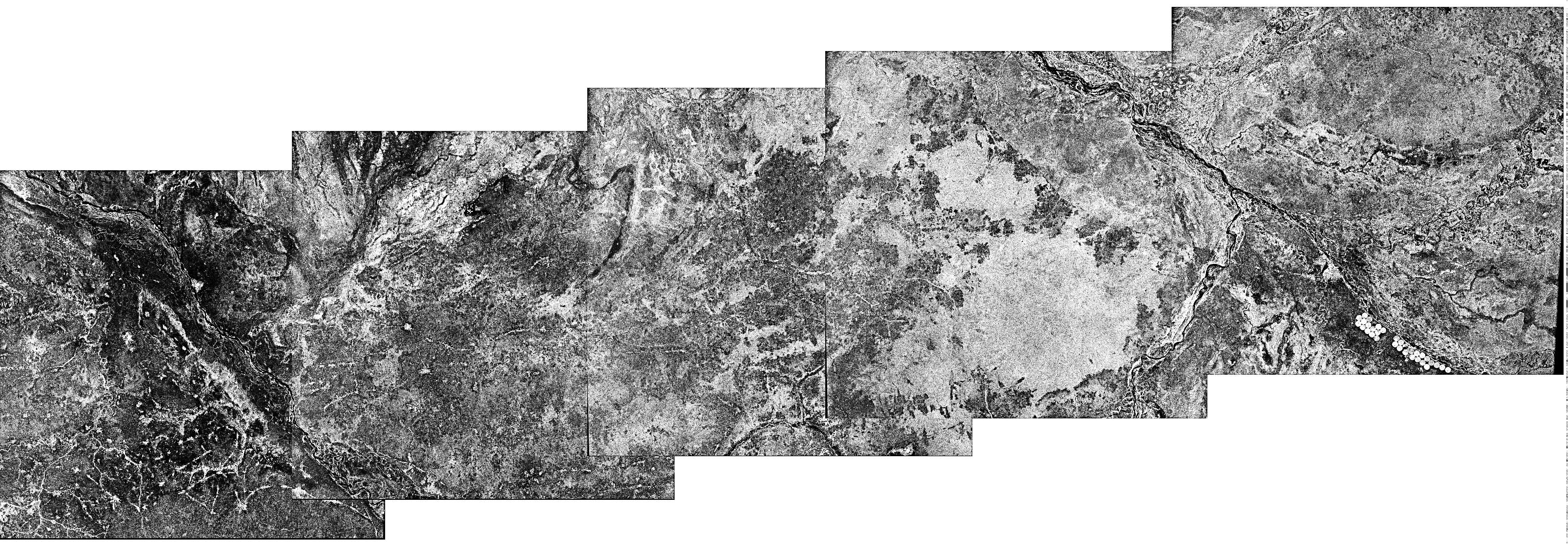
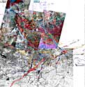
JERS Radar mosaic of Doba-Sahr transect |
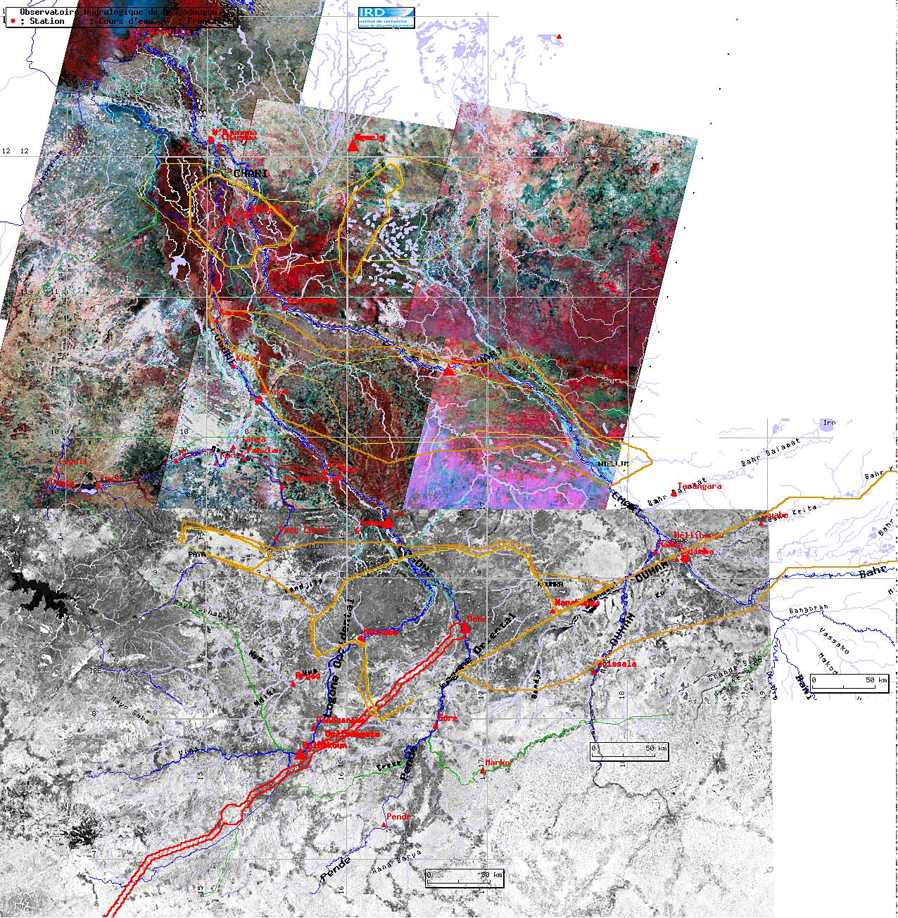
Final combined document with Landsat/Radar, Hydrology and project infrastructures |
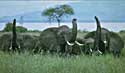
The Manda animal reserve with elephant protection |
10 - The speculative Logone-Birni basin (Cameroon and Chad)
- Environmental risks in wetlands with direct drainage to Chad lake
- Conflict of interest with the Waza animal reserve
- Conflicting with natural flood plain conservation objectives : the Maga dam
- Best route ?
- Crossing the Logone-Chari system toward Doba
- Route toward the Nigeria (Benue basin)
|
|
|

|

|
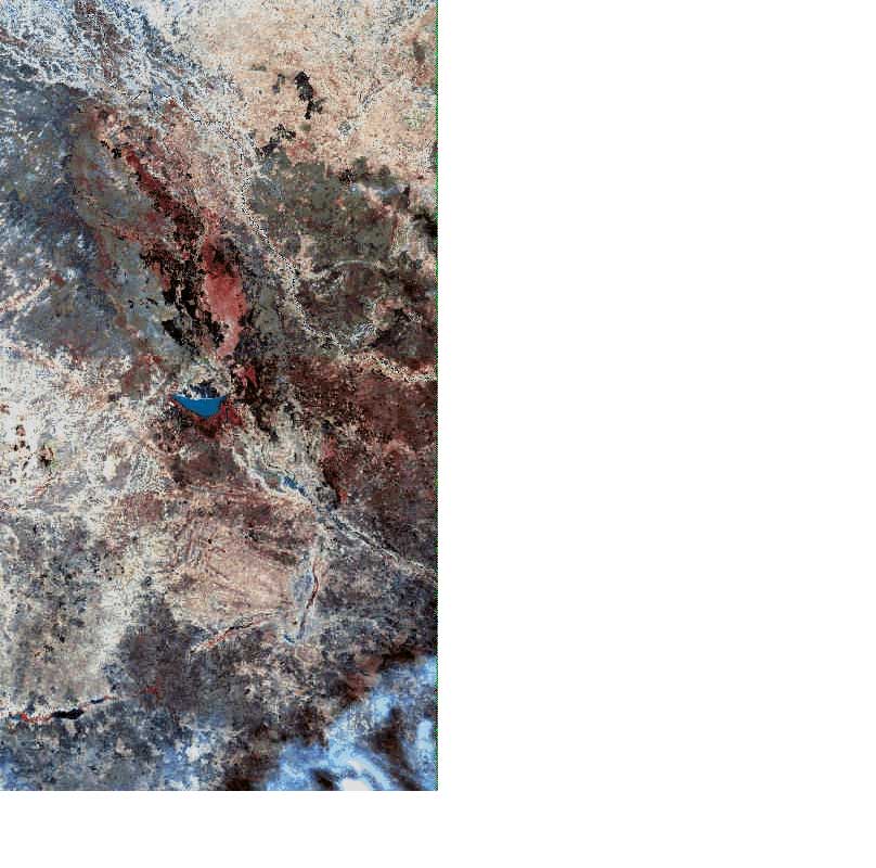
The logone flood plain by LANDSAT
@ NASA-USGS |
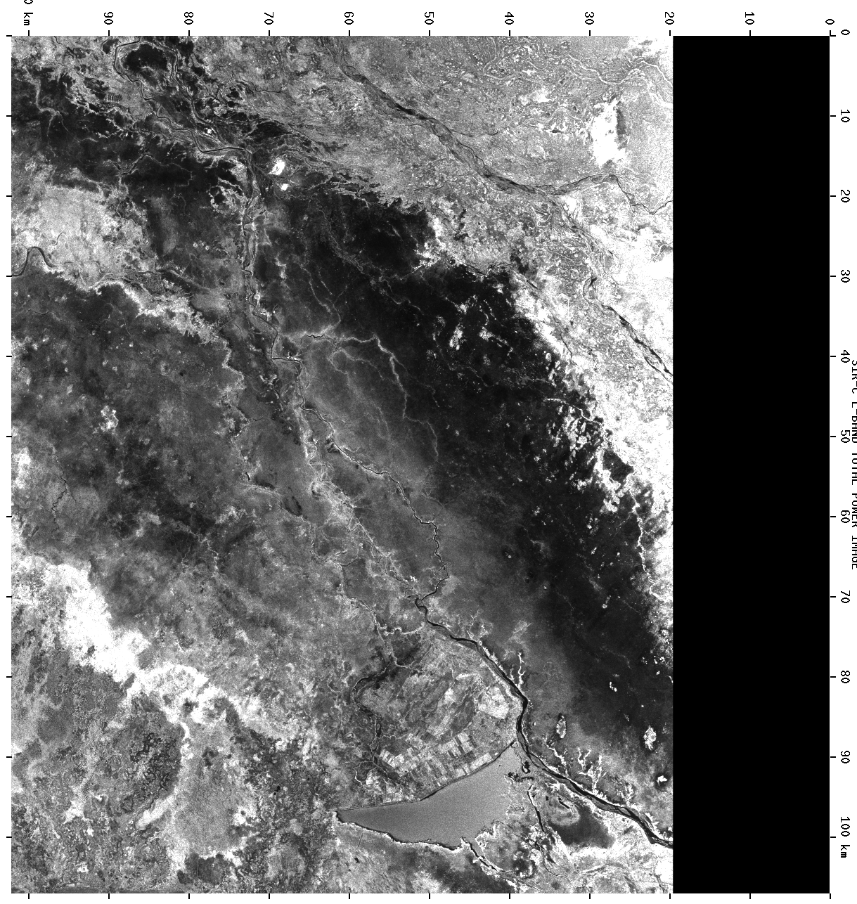
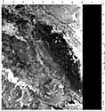
The logone flood plain by SIR-C radar
@ NASA-JPL |
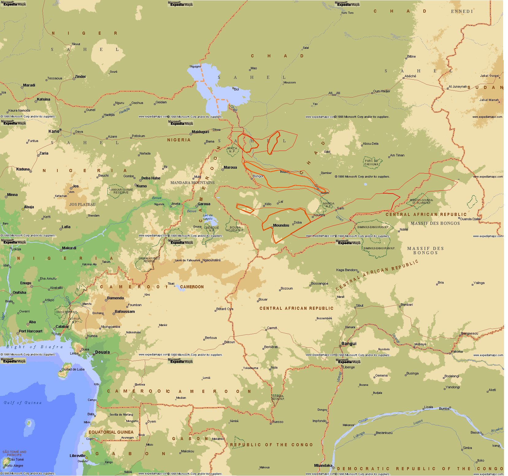
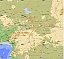
Regional topographic map with oil fields
|
Detailed topographic map of Logone-Birni area
@ IGN |
Wetlands geometry for the Logone-Birni area from IGN map |
[Top of Page] |